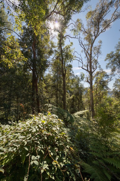
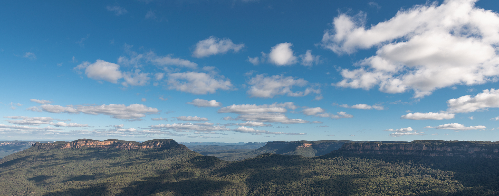
In late November 2019 the Blue Mountains in NSW Australia would see the start of a unprecedented bushfire season that would destroy approximately 80% of the Greater Blue Mountains World Heritage area. Drought conditions across Australia in the leadup to the fire season left the soil with very little moisture which helped fuel hundreds of bushfires across the nation. By the end of the fire season, 34 people would tragically lose their lives and over 46 million acres (186,000 square kilometres) of land would be burnt. Hundreds of millions of mammals, reptiles and birds would perish during the fires…This fire season would be known as the “Black Summer Bushfires”.
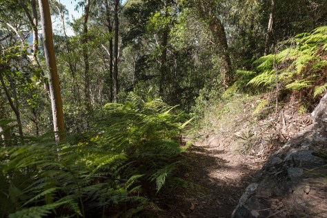
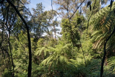
I first took note of a very small bushfire that was burning around the Ruined Castle on 27th November 2019 in the jamison valley in Katoomba, NSW. Over the course of the next few days this fire would spread onto the Narrowneck plateau and eventually into the megalong valley. Most of the images I captured are from the Ruined Castle bushfire.

The Beginning-Ruined Castle Bushfire- November 27th 2019
Small puff of smoke near ruined castle

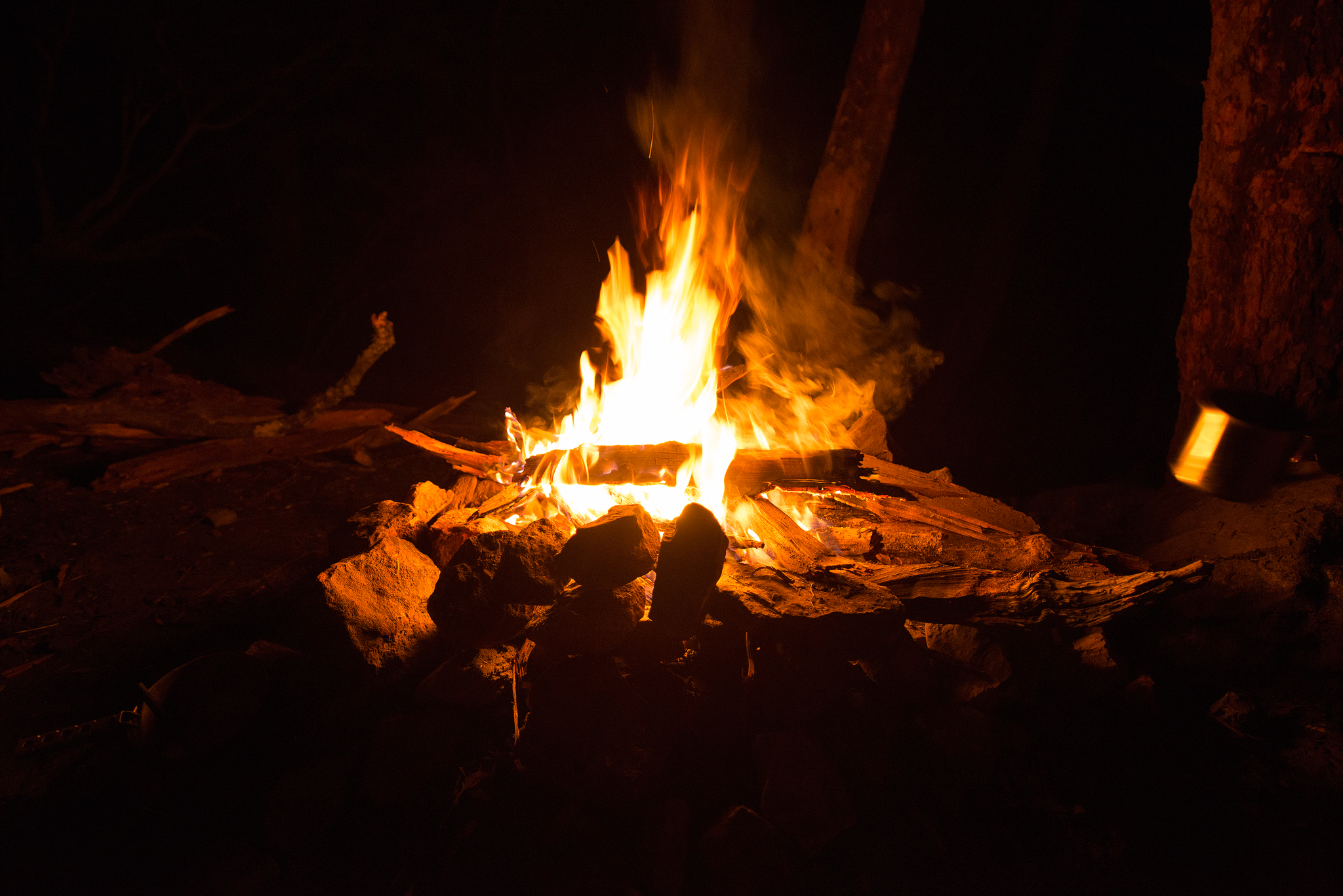
Begrimed- Ben Pearse 2019
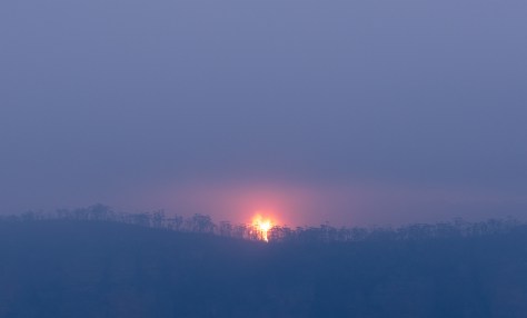
Thick dust laden smoke starts to choke the air on sunset in Katoomba. The setting sun takes on an eerie feeling, a forewarning perhaps of troubling times to come…

Eerie sunsets
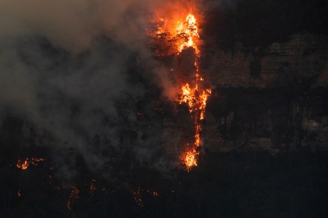
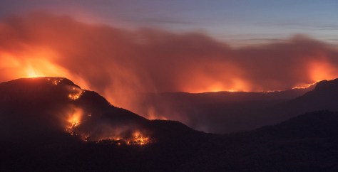
On December 1st, 2019, the Ruined Castle bushfire flares up and races up the sheer sandstone cliffs on the Narrowneck plateau in Katoomba. Despite a strong prevailing breeze against it, the fire raged effortlessly up and down the sheer vertical walls and pushed closer towards the township of Katoomba. Precision water bombing from the RFS helicopter slowed the fire spread before nightfall. RFS ground crews worked throughout the night to control the blaze along the narrowneck plateau.

Fire rages on the narrowneck plateau cliffline

Fire engulfs the treeline on narrowneck plateau
Thick plumes of smoke choke the air

Fire climbs up and down the sheer sandstone walls in minutes
Dry conditions fuel the fires- December 1st 2019
At night concerned local residents would view the Ruined castle bushfire from Echo point lookout. At night you could clearly see the location of the fire as the flames would become visible in the darker conditions.

Night view of the ruined castle fire from echo point lookout

Line of fire in the jamison valley, Katoomba, Blue Mountains, Australia
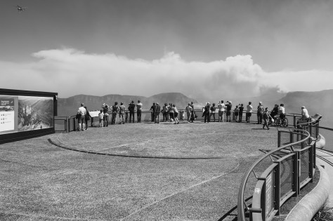
Echo point providing a great viewing platform for the ruined castle bushfire
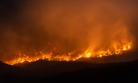
A wall of flames at night in the jamison valley, Blue Mountains.
Nightfire- Katoomba, Blue Mountains, Australia- December 3rd-2019.

Fire burns up into Pitts Amphitheatre, Katoomba, NSW.
Fire burns a path onto Mount Solitary. In the background the Kowmung river fire rages. This fire would go on to join with the the Green Wattle creek fire.

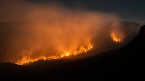
Ruined Castle fire flares up in gusty dry conditions- December 10th 2019. Planes and helicopters water bomb from above and bring the fire back under control.

Fire returns and burns in behind the iconic Ruined Castle sandstone formations. This was near the point where the fire originated 2 weeks ago.
A small flareup on narrowneck plateau as misty conditions permeate the night…
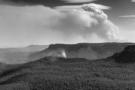
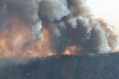
A backburn that was implemented to stop the spread of the massive Gospers Mountains fire, broke containment lines and entered the grose valley. The grose valley fire produced a huge pyrocumulus fire cloud that dominated the skyline…The Gospers Mountains fire was unstoppable and burnt over 1.2 million acres, becoming the largest forest fire in Australian history.
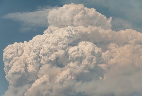
Pyrocumulus Cloud- Grose valley fire 2019
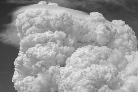
Gospers Breath- Grose valley fire 2019
Note: I would like to personally thank all the incredible and tireless work that the Emergency workers do across Australia each fire season. Thankyou!
Cheers for looking, Ben.
View Ben’s Website here: Ben Pearse Photography