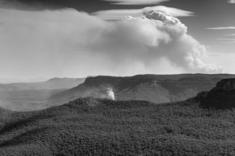
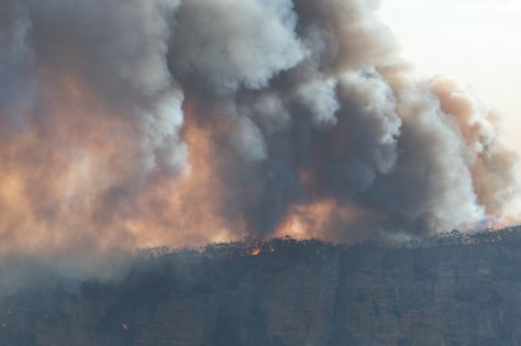
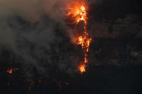
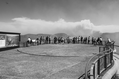
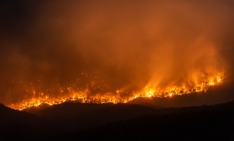
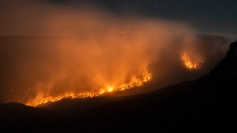
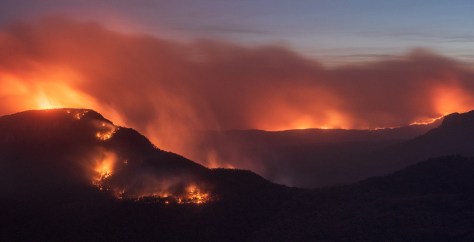
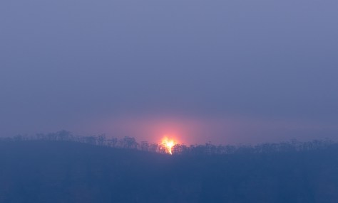
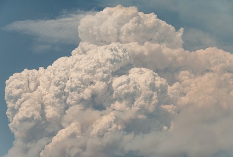
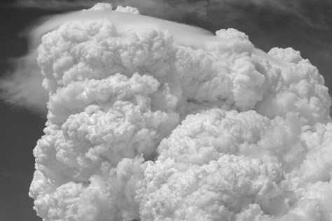
In late late 2019-2020, you probably heard and saw dramatic and devastating footage of the bushfires that ravaged Australia. I posted images and footage in this blog post here about these bushfires in my local area of Katoomba, Blue Mountains, Australia. After the fires had gone through I was interested to see the impact on the local landscapes in my area. After the bushfires many of national park areas that were burnt remain closed due to the risk of falling trees etc. I was very interested in hiking out to Mount Solitary, however this trail is still closed at time of writing.
Altered lands

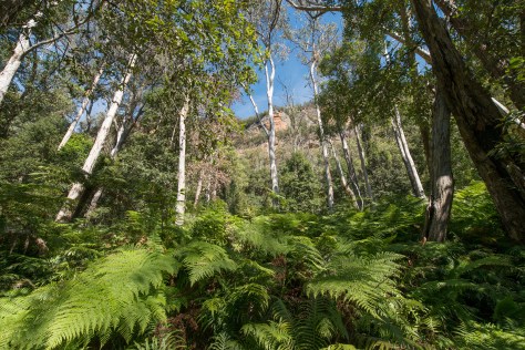
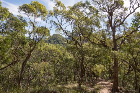
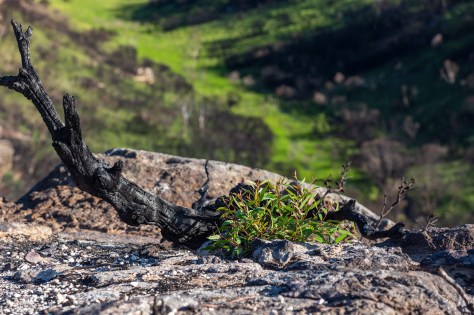
Life still remains…
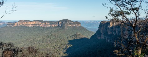
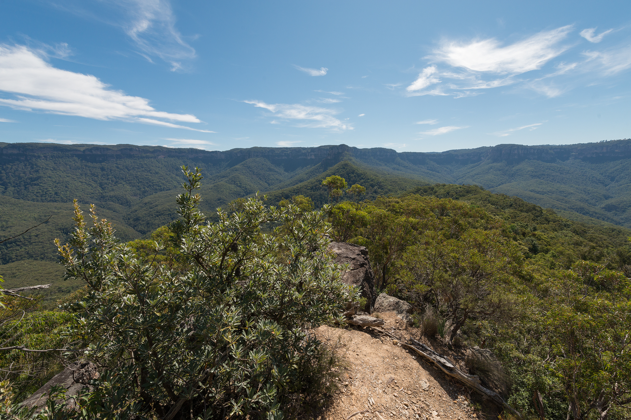
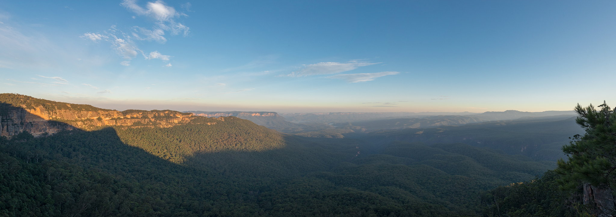
Panoramic view looking past Ruined Castle (small outcrop in middle) to Mount Solitary (left) and Lake Burragorang just visible in the rear. Castle Head jutting out from Narrowneck on the right.

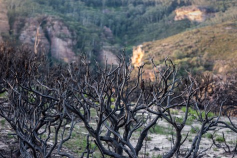
Looking down to Ruined Castle, where these bushfires originated in 2019. Allot of what is pictured here was burnt in the bushfires.

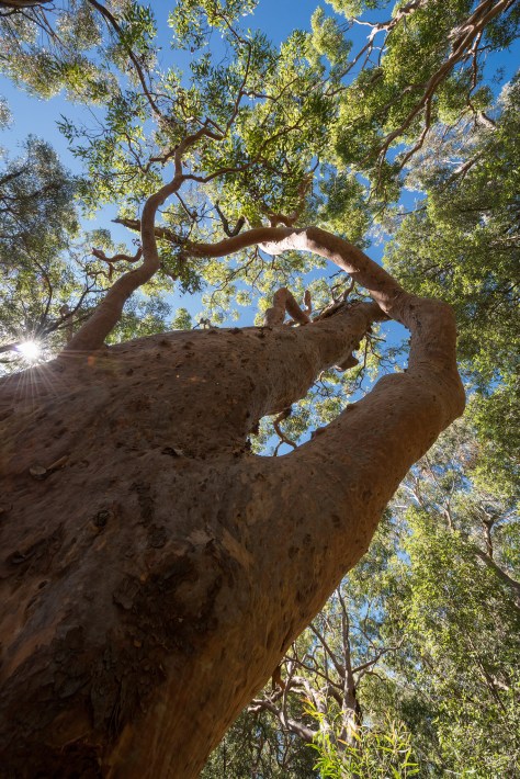
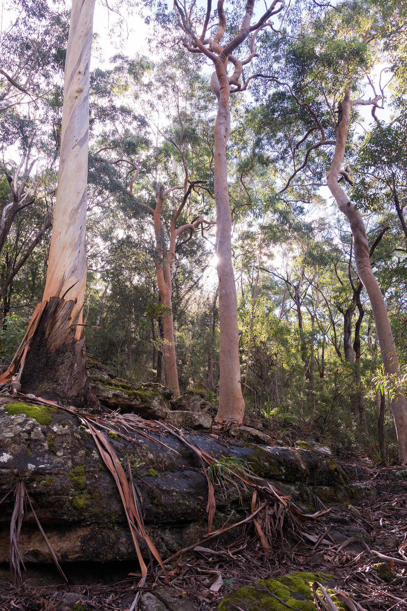
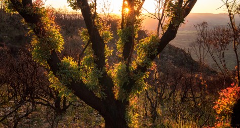
New growth catching the light
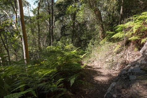
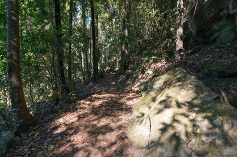
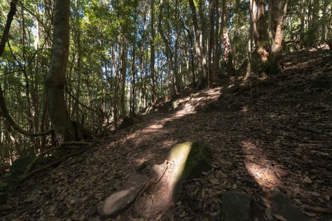
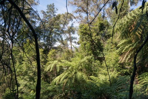
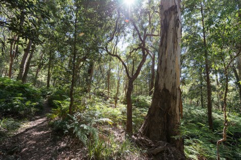
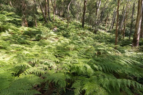
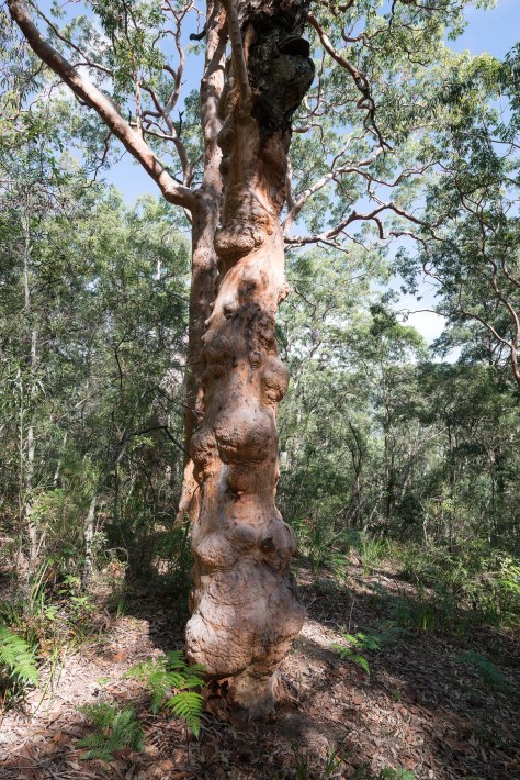
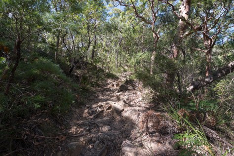
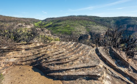
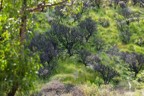
I decided on documenting one of my favourite areas, Narrowneck plateau in Katoomba. This area was impacted by the ruined castle bushfire in early December 2019. As I wandered through different areas of narrowneck plateau, it became apparent that certain areas were going to take some time to regenerate compared to others. In the gully of diamond creek, the unmistakable vibrant green regrowth stood out against the dull magenta and black of the surrounding burnt landscape. I couldn’t help but be drawn into this area due to the alarming contrast of colours on display. As diamond creek carves it’s way through the valley, it brought a lifeline, in the form of water, enabling new life to regenerate and grow.
Resilient Lands- Narrowneck plateau- March 2020
Return to Green- Diamond creek pathway
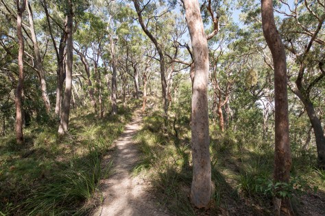
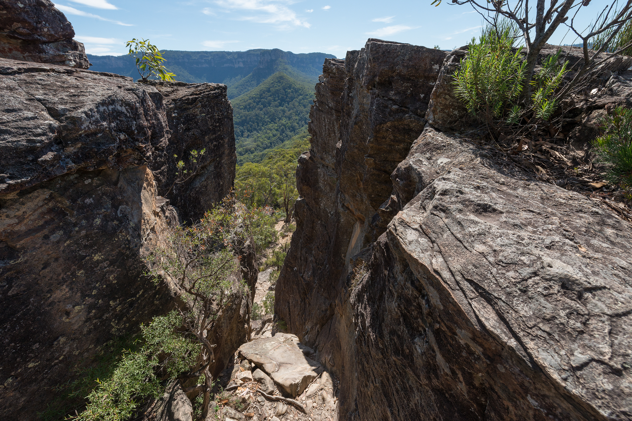
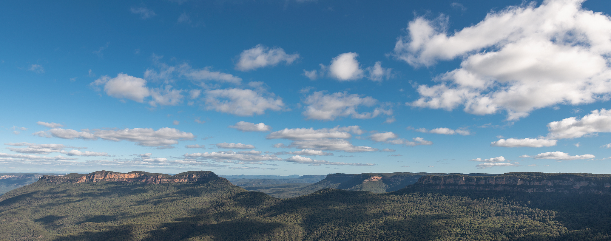
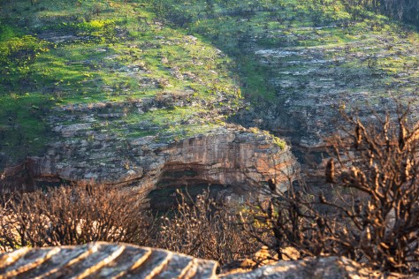
Narrowneck plateau, Katoomba, Blue Mountains.

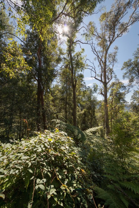
Green returns to the landscape
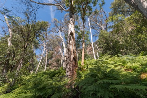
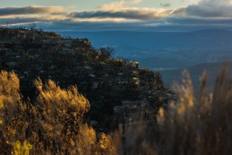
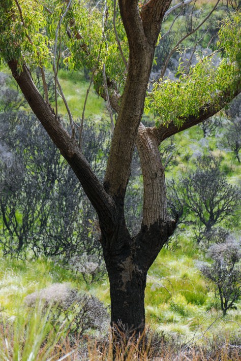
Over the next few months I would see more regrowth appear across the burnt fireground. In the steep gullies and the tops of ridgelines where the fires burnt very hot and intense, it will take additional time for the regeneration to gather momentum. The flora and fauna that grow, dwell and cling to the sandstone formation that is Narrowneck plateau are resilient and should thrive once again in the years to come.

Wildlife returns

New buds emerge…
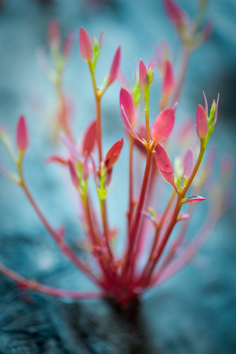
New growth after the fires

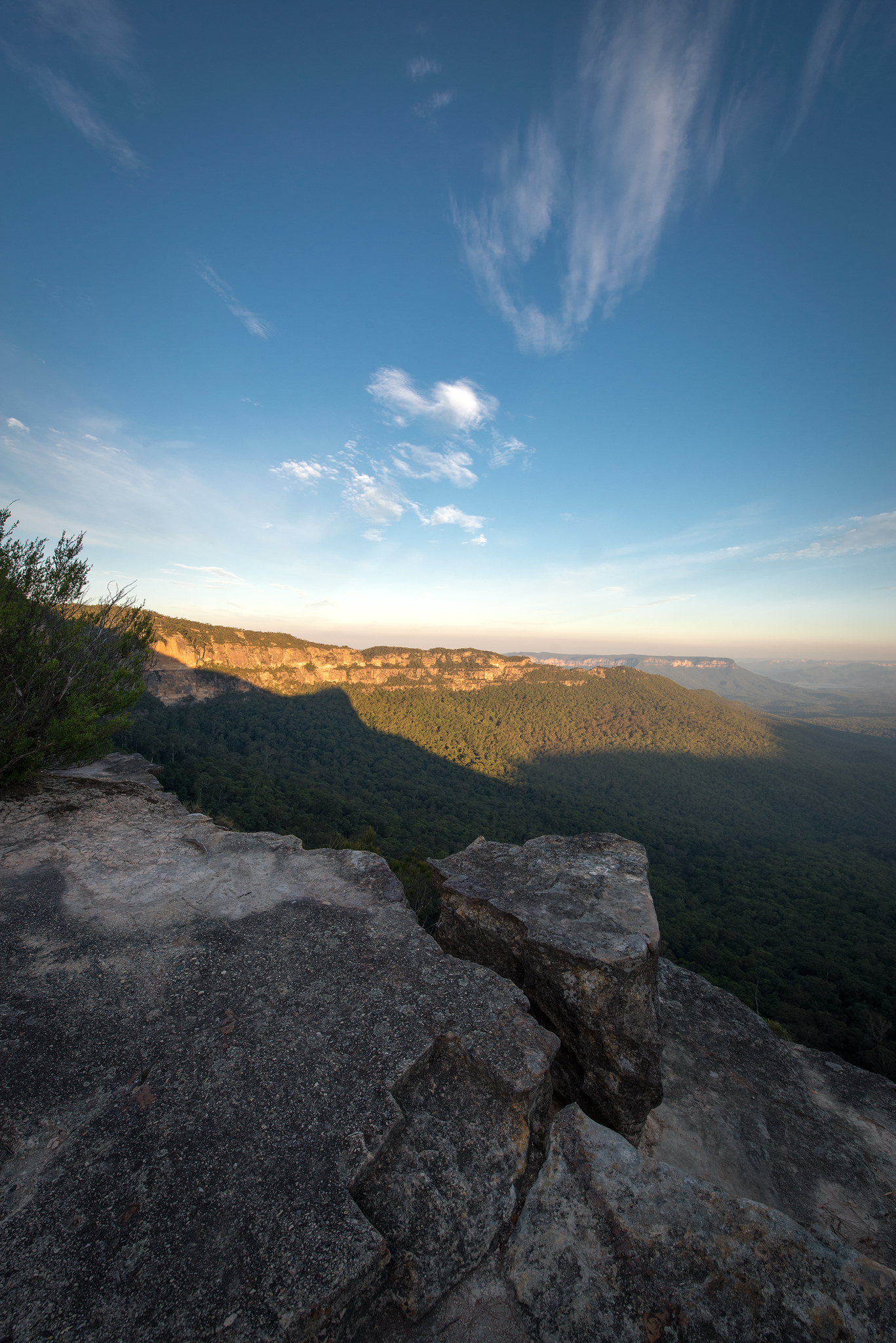
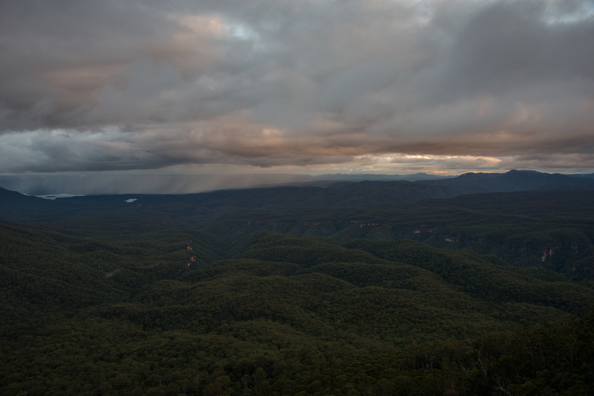
View from Narrowneck into megalong valley
Emergence- Kangaroo tails (Xanthorrhoea) catching the last light of the day…
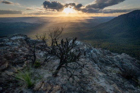
Looking west from Narrowneck plateau over megalong valley on sunset
Regeneration- New growth returns after the fires…

Pink flannel flowers (Actinotus forsythii) in bloom on Narrowneck plateau- February 2021
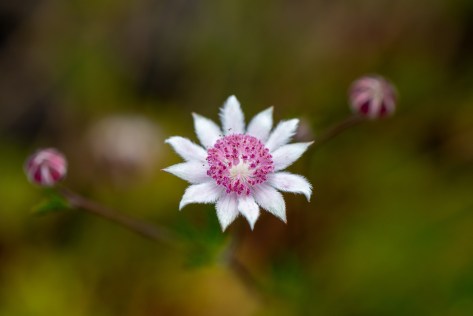
Beautiful pink flannel flowers bloom a year after the bushfires, it’s actually the smoke and not the heat that makes these rare flowers germinate…
Thanks for looking,
Cheers Ben
Visit Ben’s website here- Ben Pearse Photography