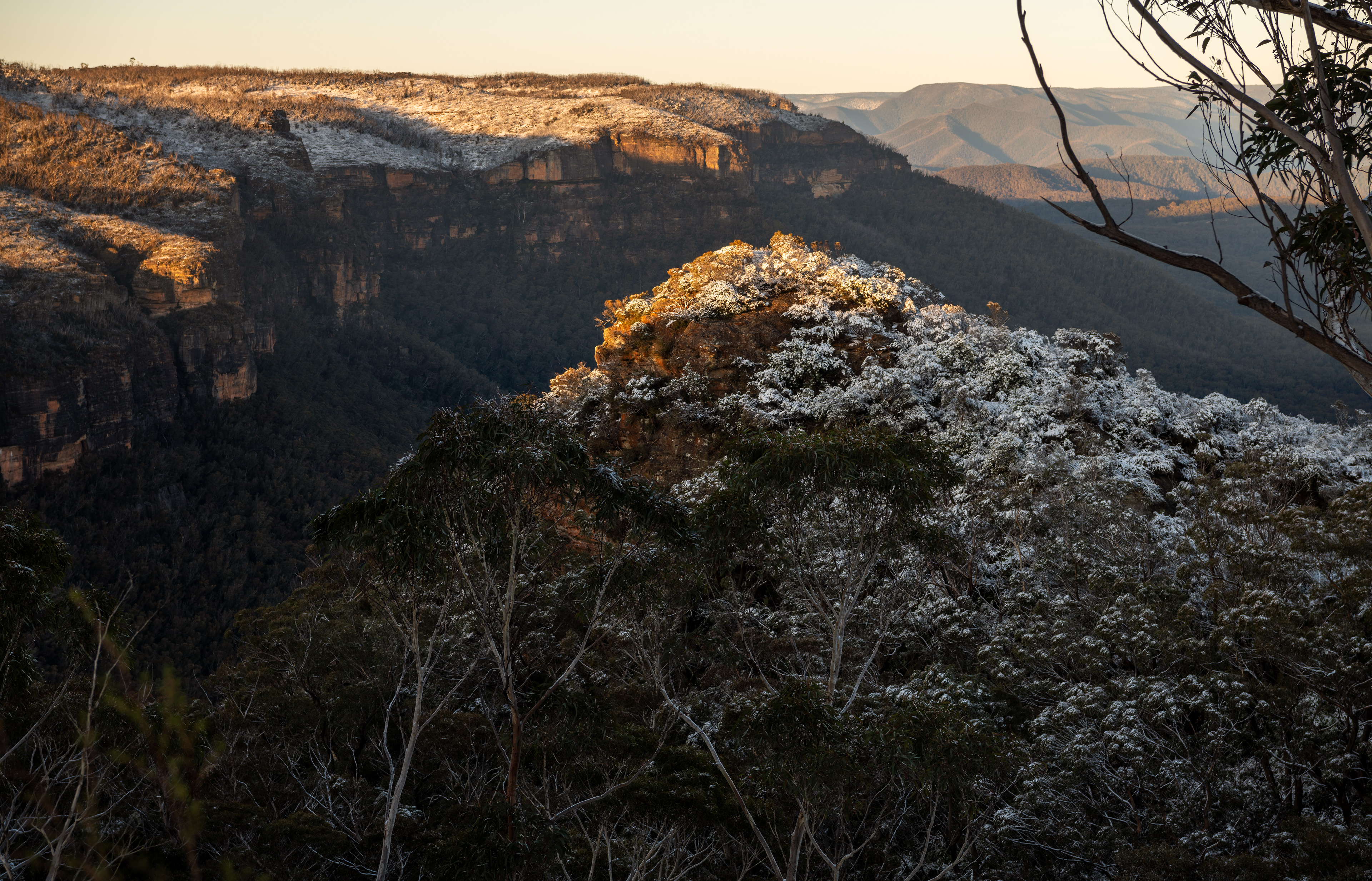
Looking back on Katoomba from Mt Solitary ridge
Situated in the world heritage listed Blue Mountains, Australia lies the majestic Mount Solitary. At 950 metres above sea level Mount Solitary demands attention amongst it’s nearest landscapes rivals such as the iconic three sisters located nearby. The local indigenous people called the mountain Korowal meaning “the strong one”. Mount Solitary is located in the jamison valley and is most easily accessed via the mountain township of Katoomba.
Over the years Mount Solitary has been a sought after destination for many experienced walkers, hikers, runners and overnight campers as they seek the majestic and breathtaking views the mountain offers up as you labour up it’s steep eucalyptus lined ridges. From it’s summit you are offered a stunning view from melville’s lookout near chinaman’s gap that takes in lake burragorang and the wild dog mountains.
In recent times the National Parks & Wildlife Service (NPWS) have installed pit toilets, shelter and rainwater tanks for the increased traffic flow to Ruined Castle ,which you pass along the way enroute to Mount Solitary. Though the rain tanks may supply water year round, yet it’s vital you carry a good supply of water as it may not be available in the dry periods atop Mount Solitary. Overnight campers can stay in chinaman’s gap or nearby areas with suitable tents and sleeping equipment.
Below is a series of pictures taken by Ben Pearse who is a commercial photographer living and working in Katoomba, Blue Mountains, Australia. These images document the popular walking route from the Golden Stairs to atop Mount Solitary. The distance from the beginning of the Golden stairs to the Chinaman’s Gap is approximately 7.7km. (please read additional notes below images on hiking severity)
I hope these images help others enjoy this beautiful section of the Blue Mountains, Australia.
cheers Ben
All images are copyright to Ben Pearse Photography 2016
Website
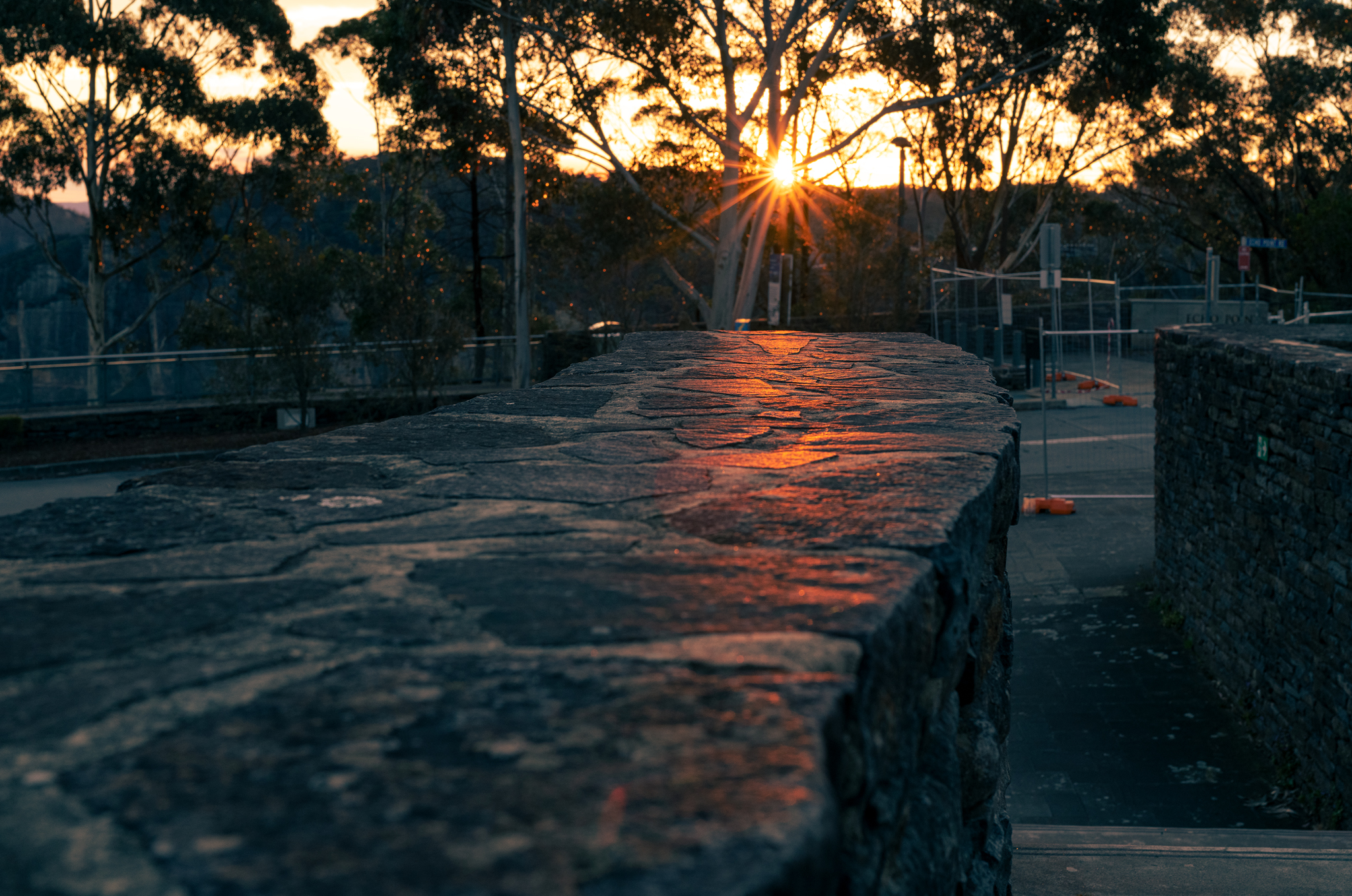
Golden stairs to Mount Solitary
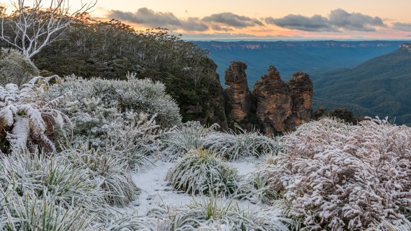
three sisters view
Golden stair pathway

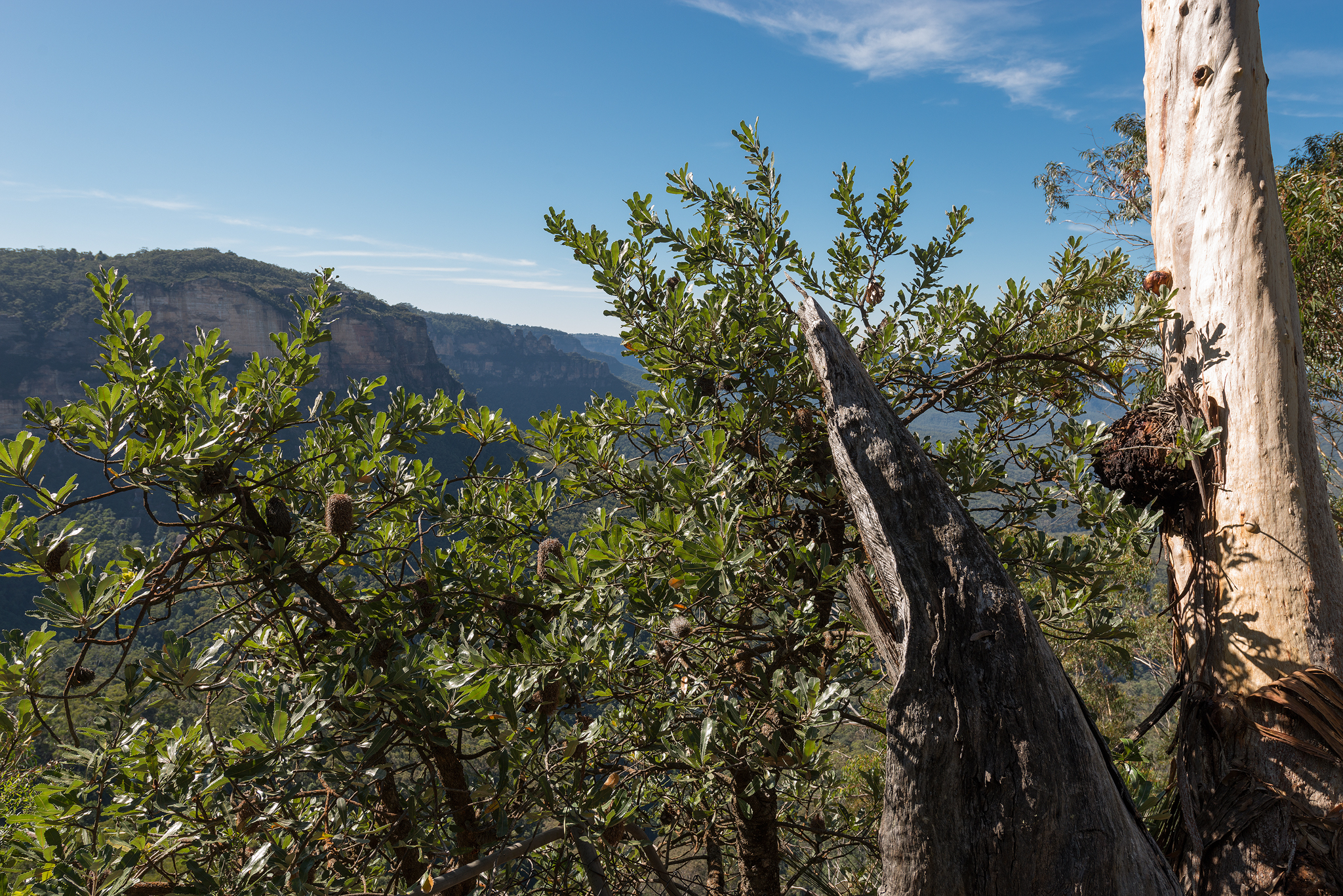
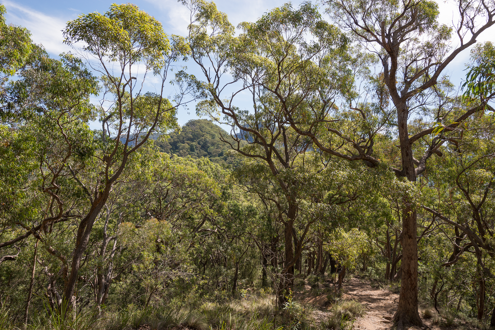
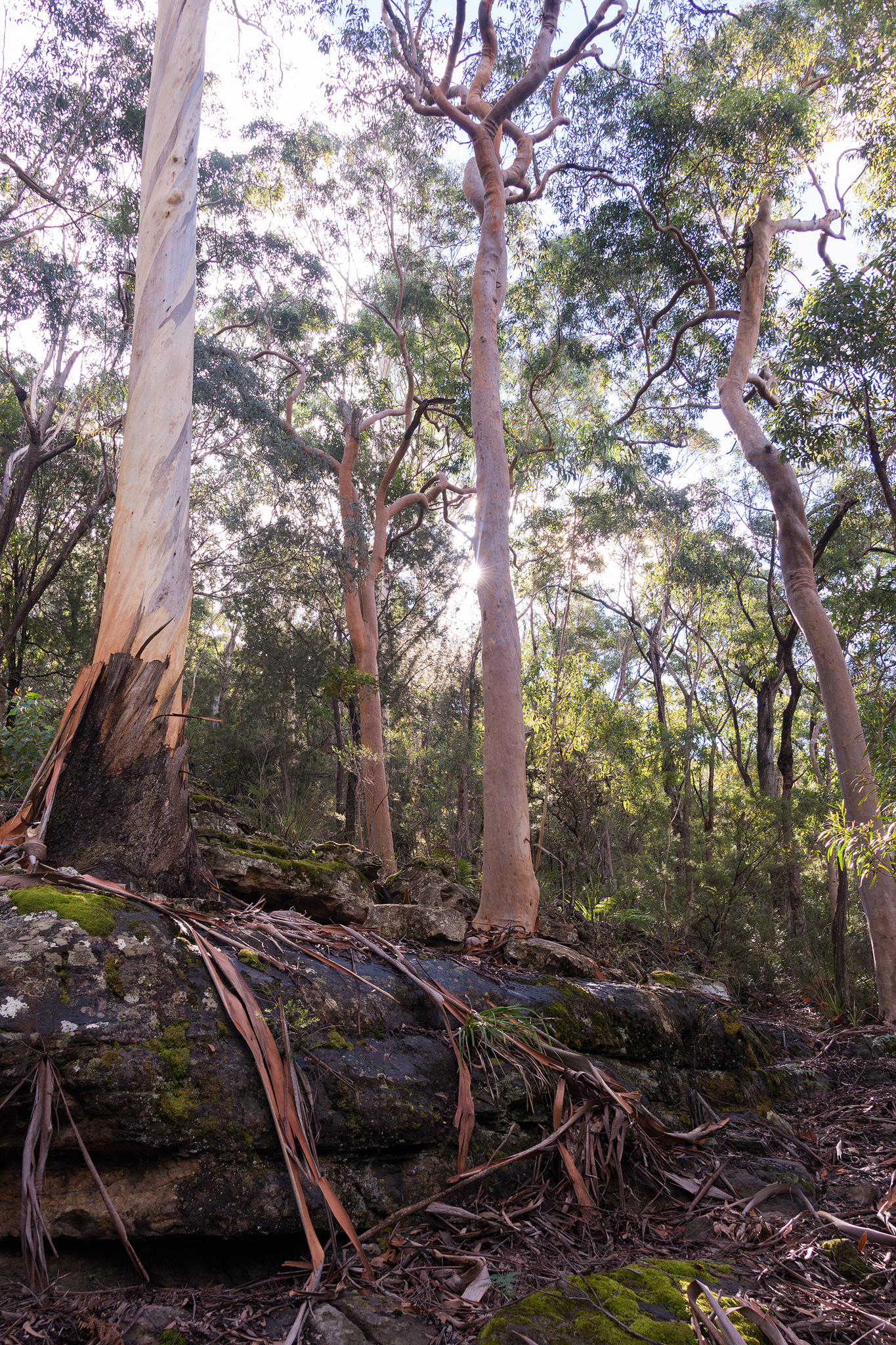
Angophora trees

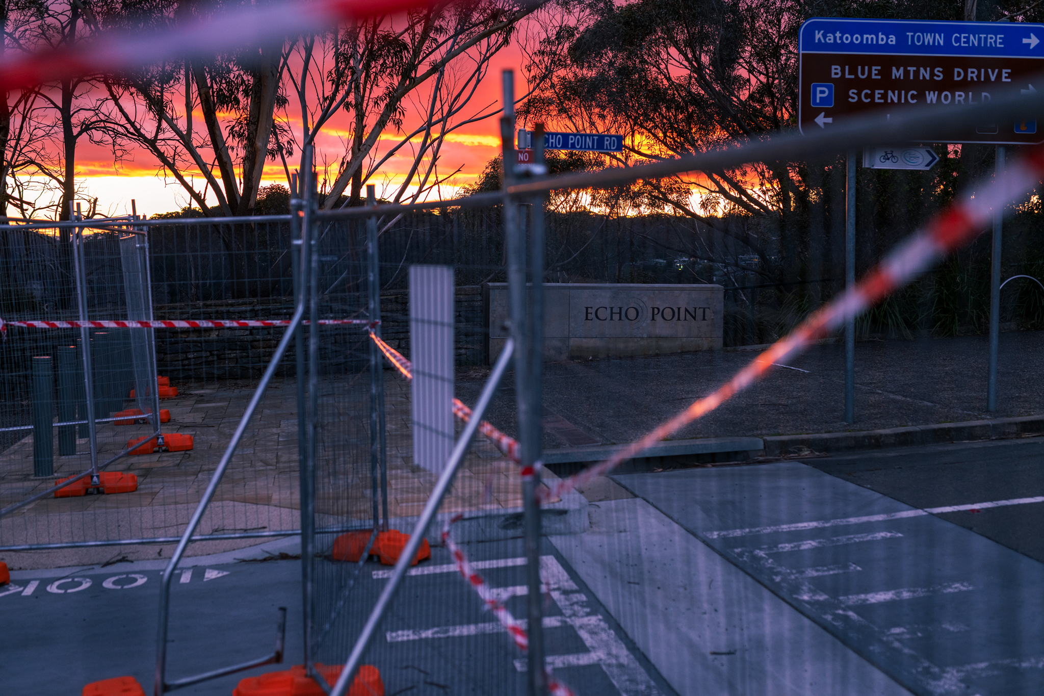
Signposts to Mt Solitary at base of Golden Stairs
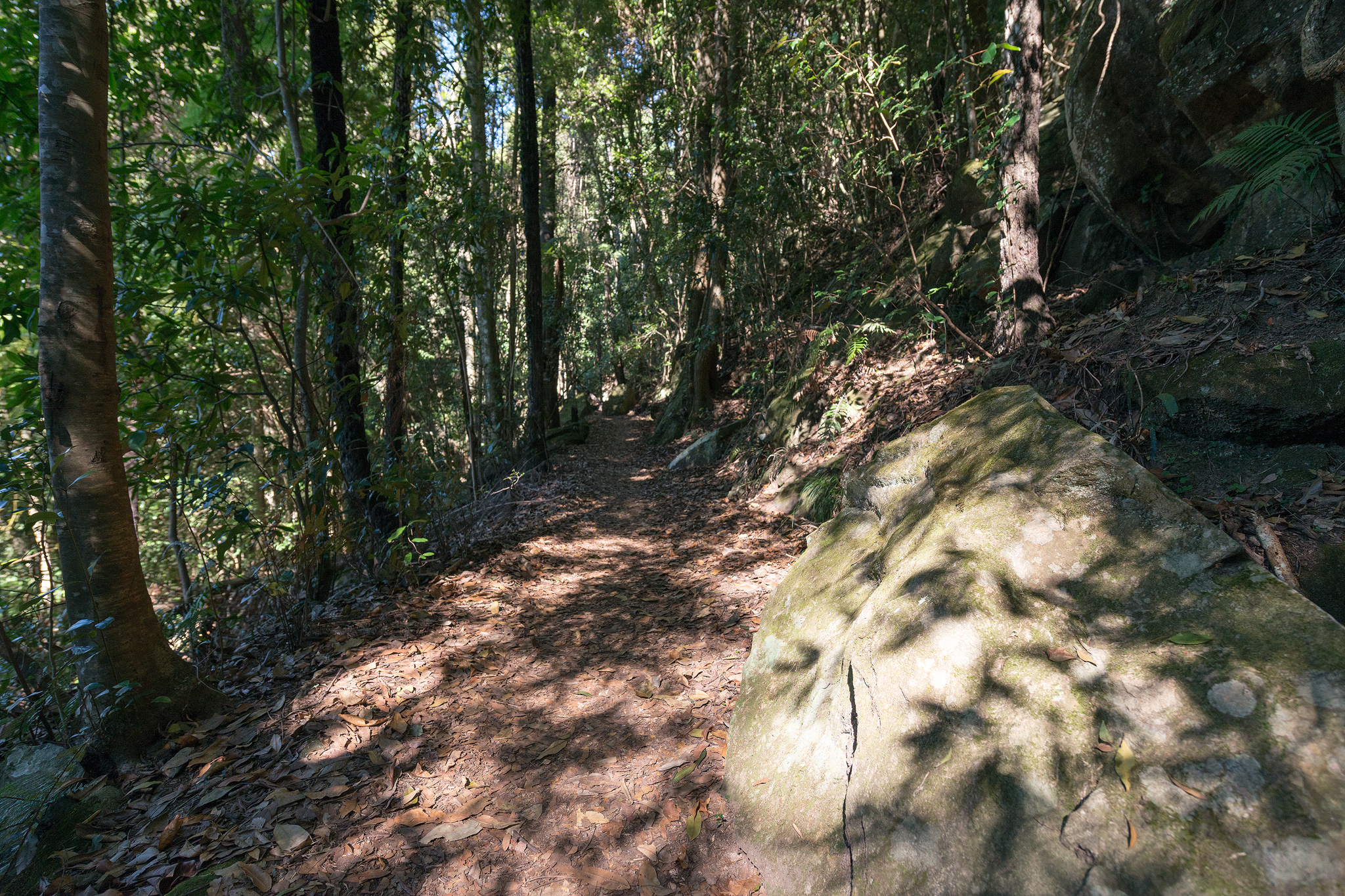
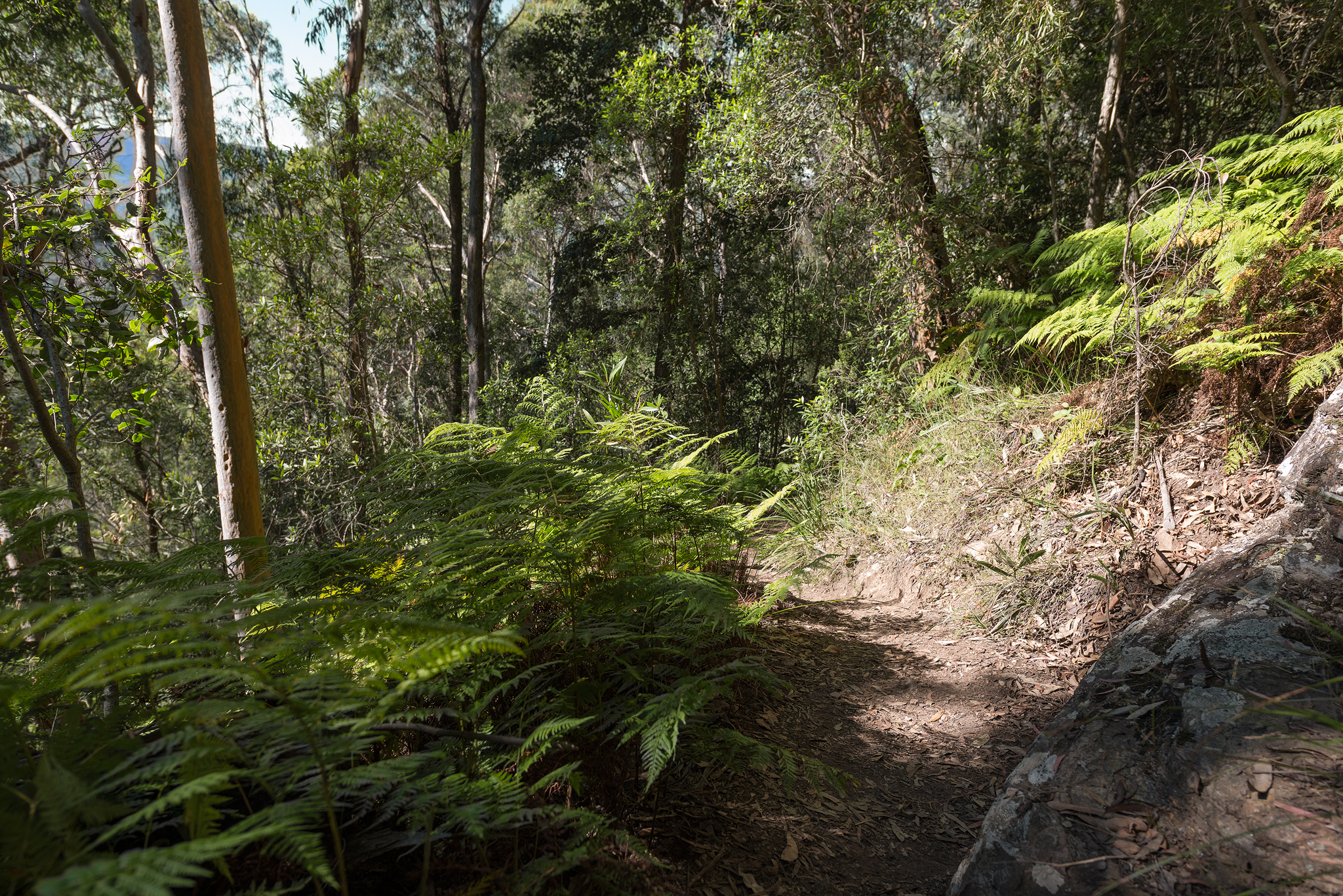
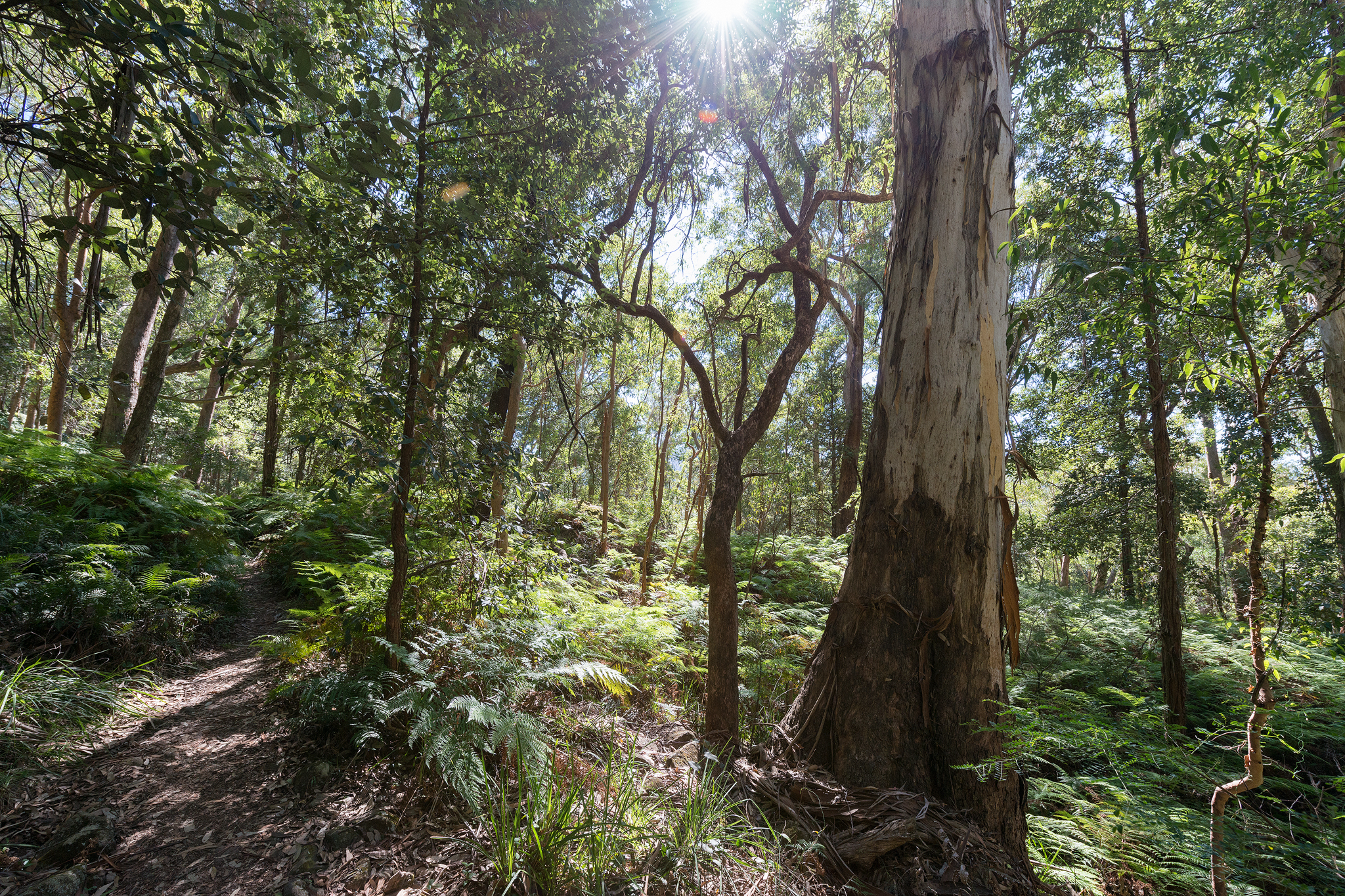
Entering the forest

Dappled forest light

Forest views

Forest greens
Sunshine and greens

Sunshine through the trees

Trees amongst the ferns

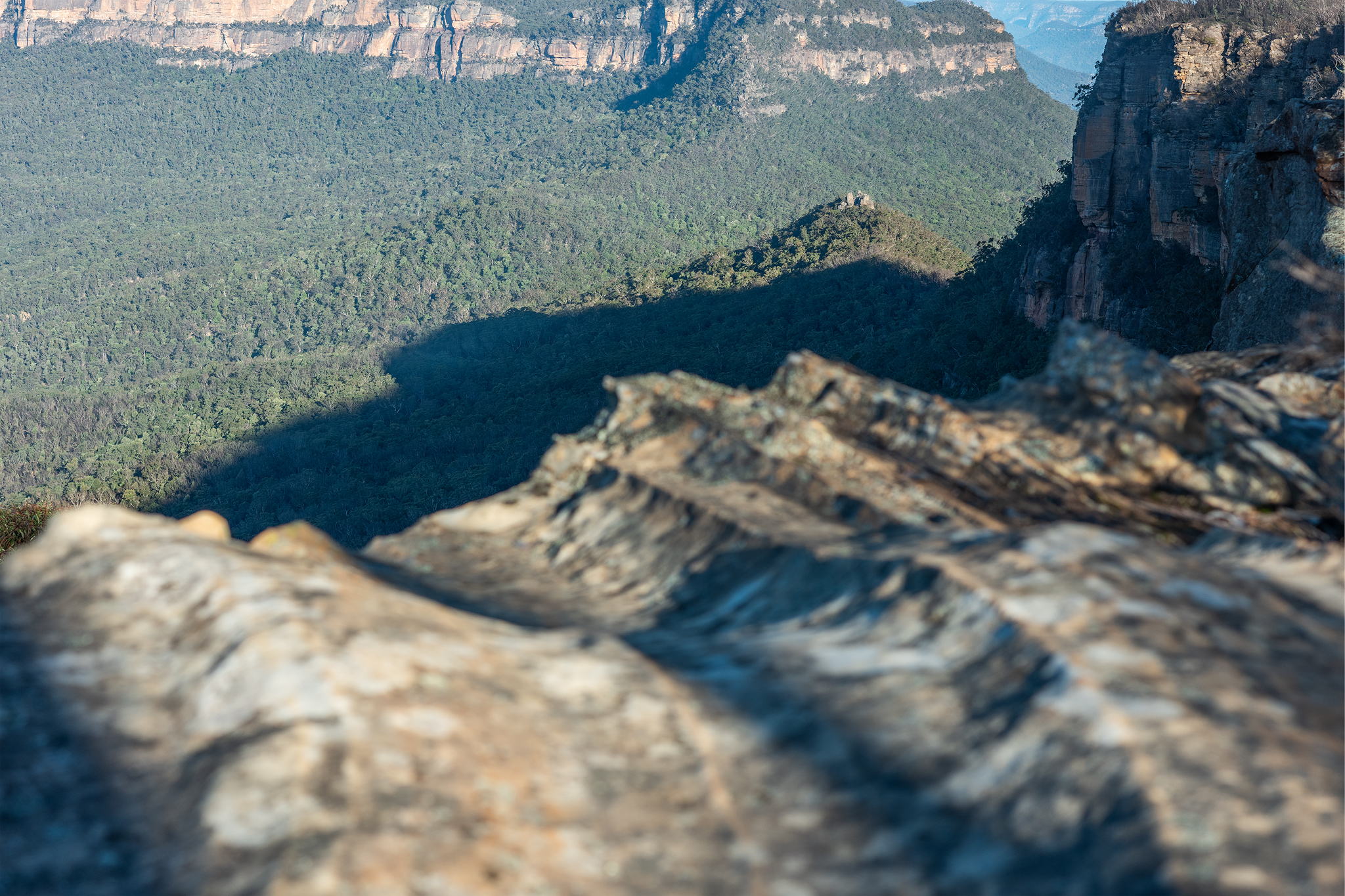
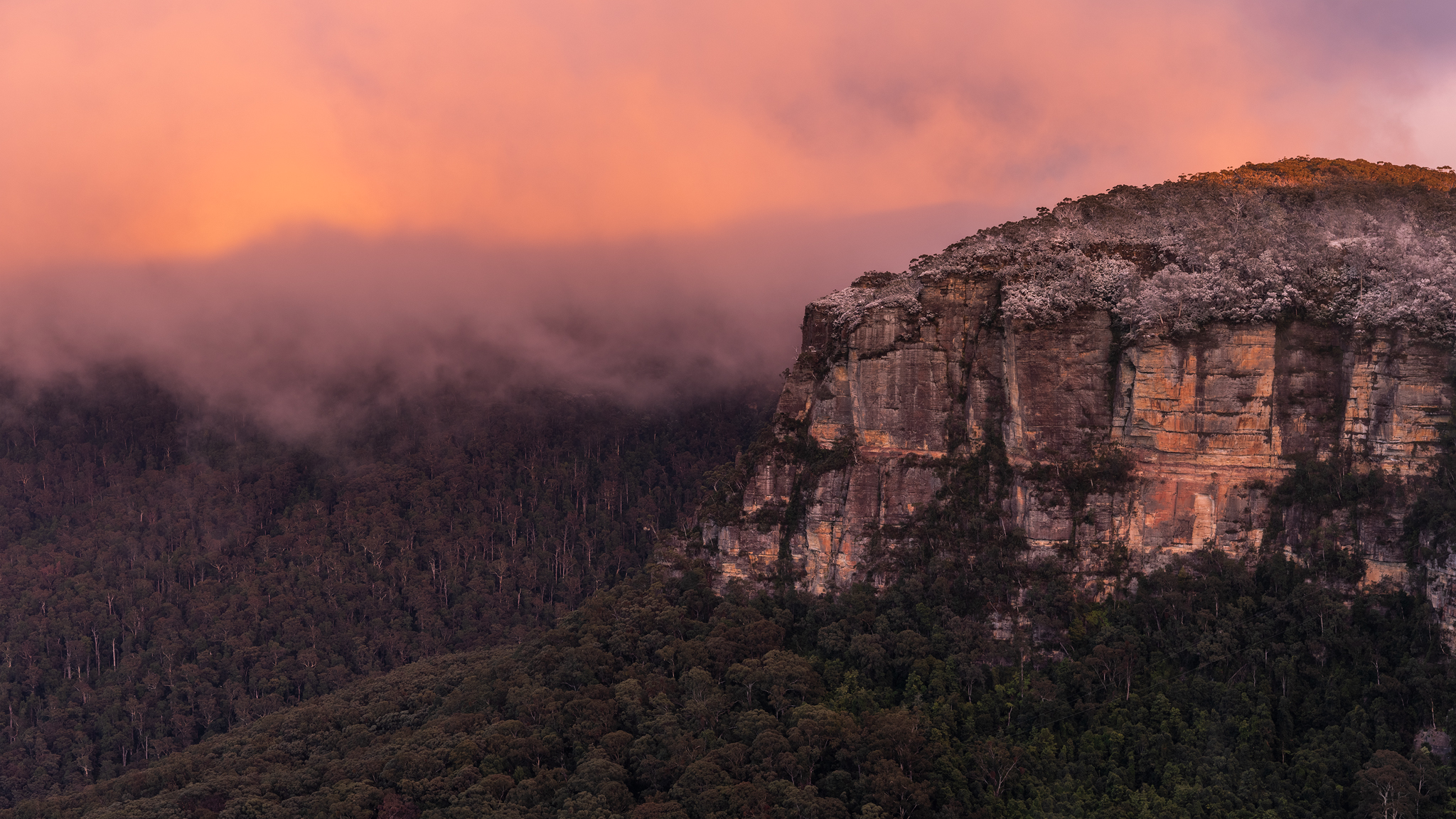
Cliff lined views

Track through the ferns
Forest in sunlight
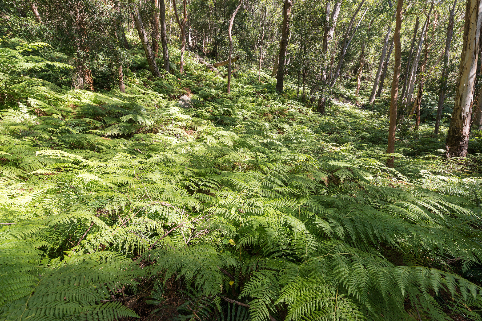
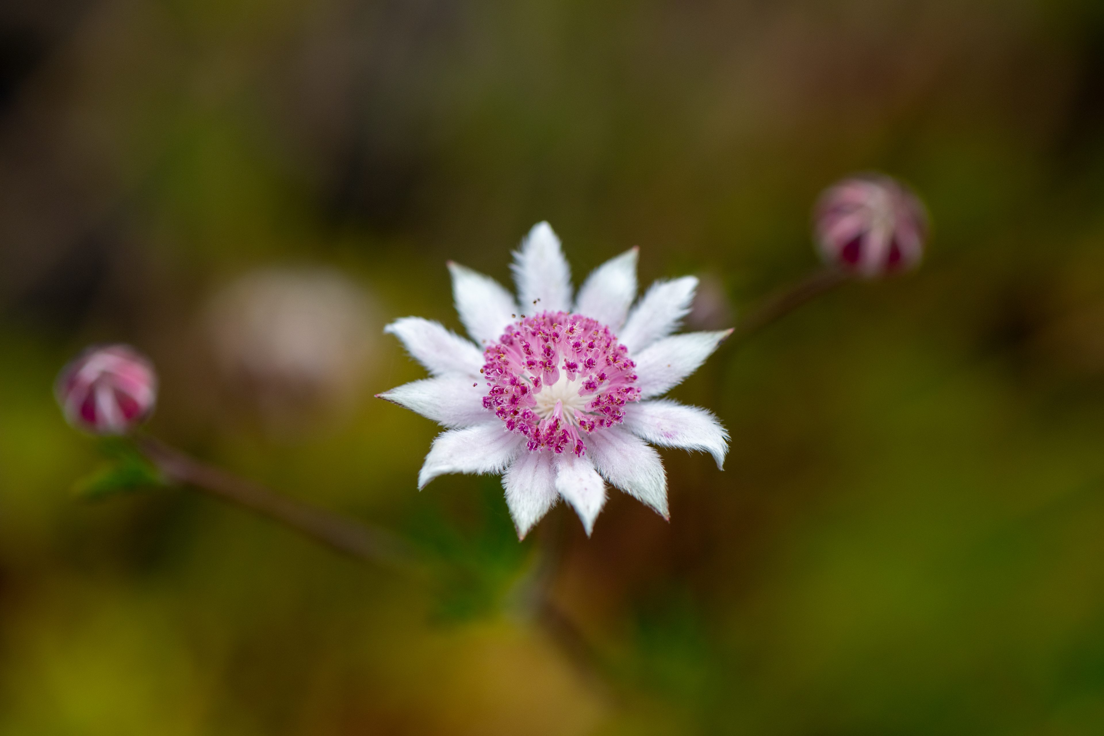
Sea of ferns
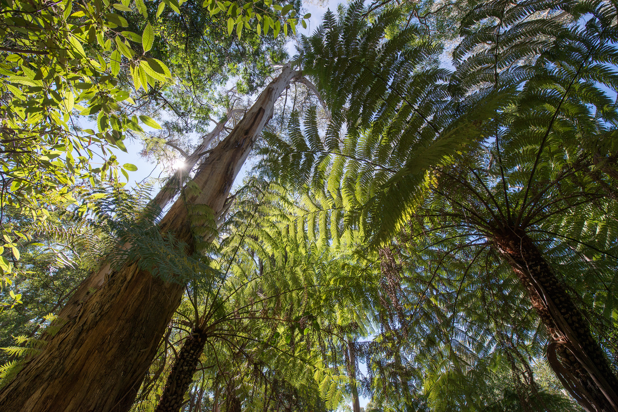
Under a fern canopy

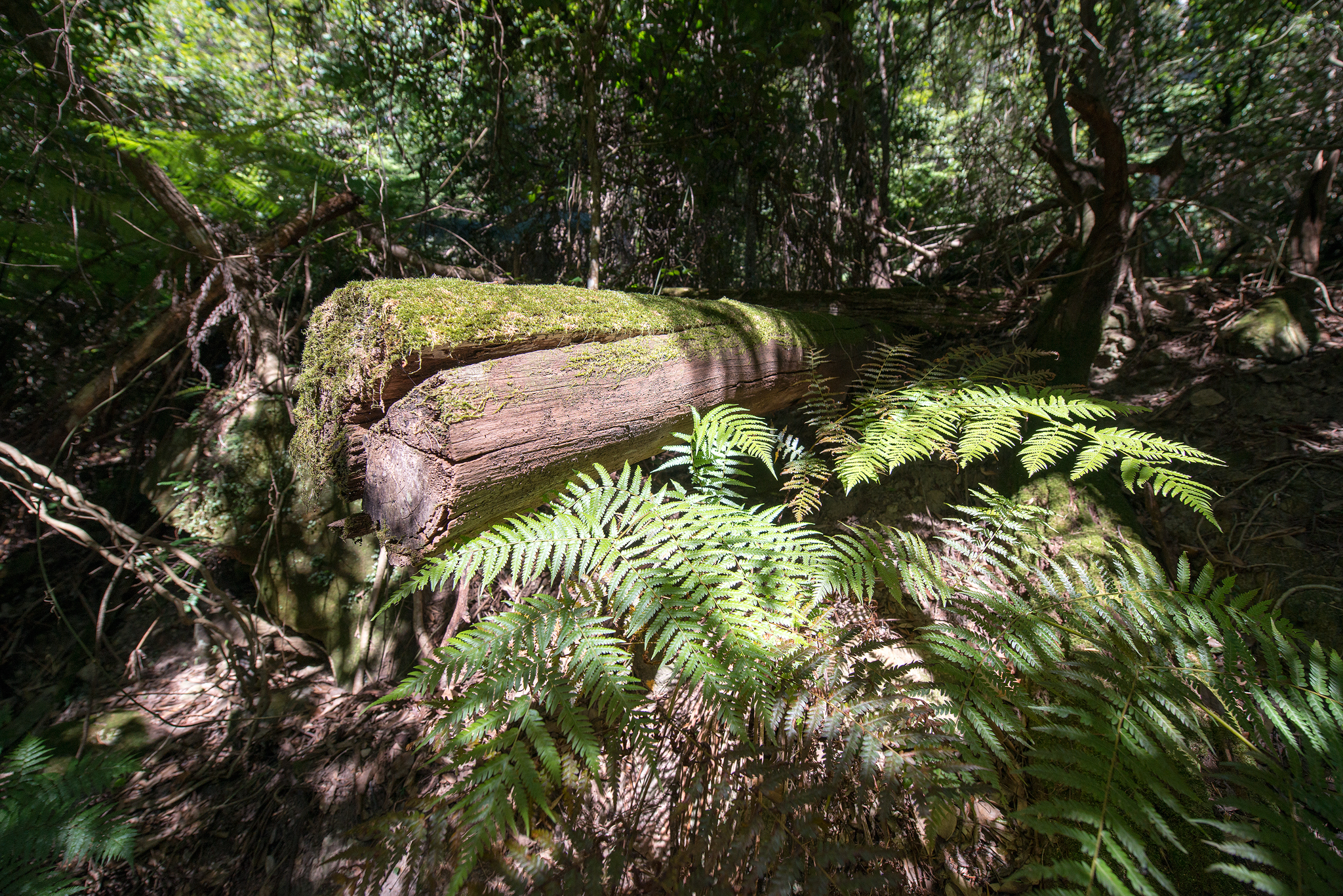
Lush forests

Bush toilets

Turnoff to Ruined Castle

Warning signs to take note

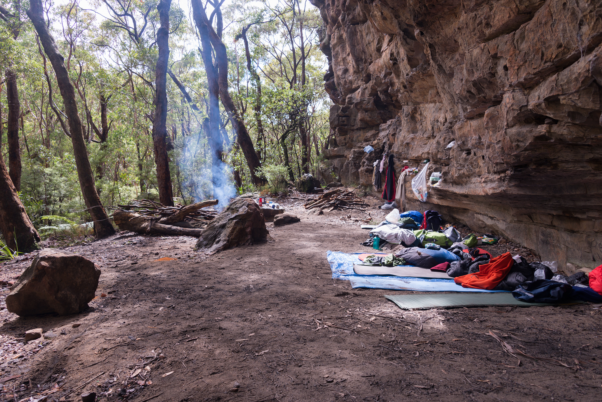
Campsites and rest spots

Water and shelter
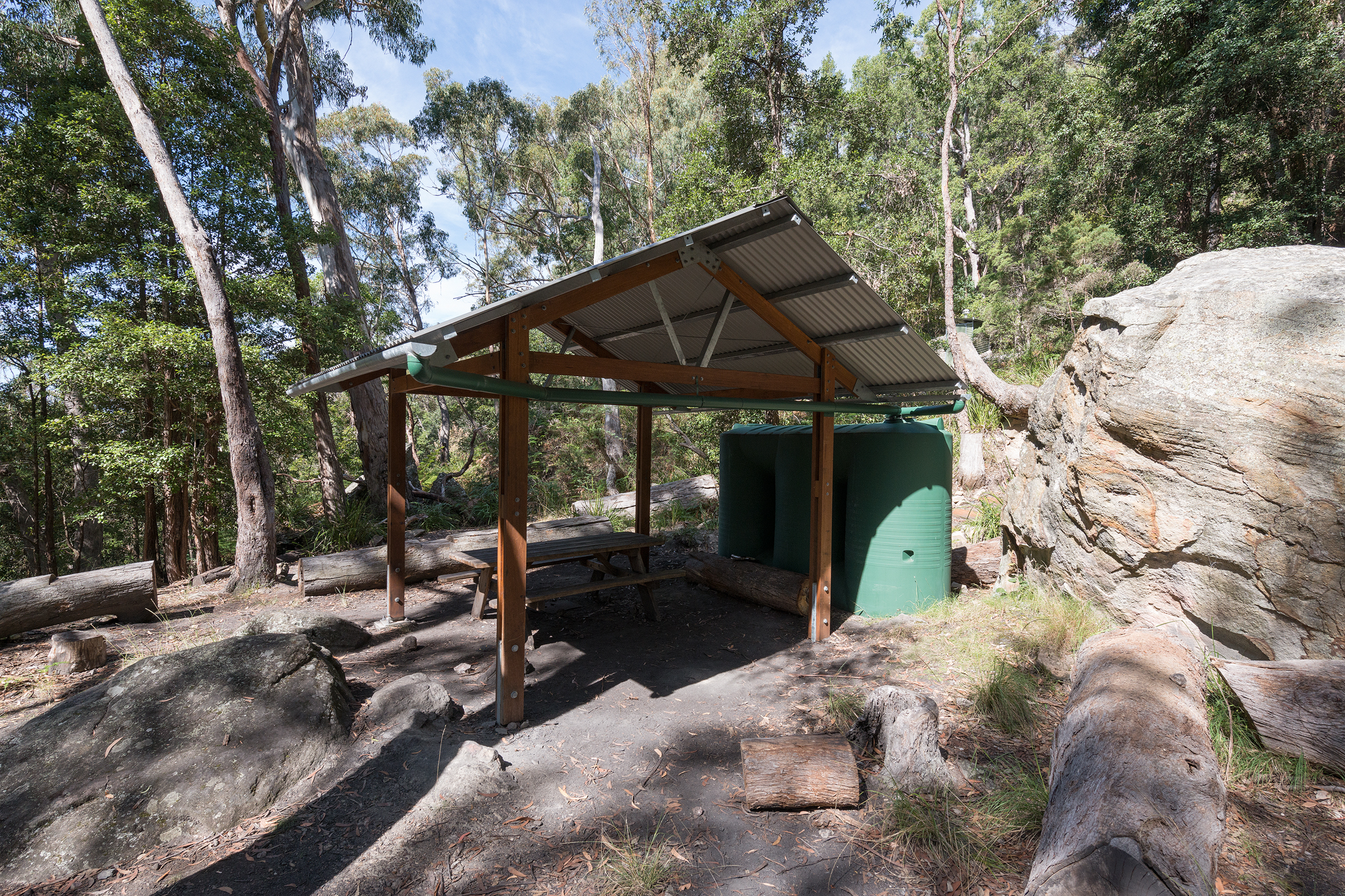
Rain tanks and shelter

Last pit toilet stop

Rain tanks can provide water if it’s available

One of two rain tanks available

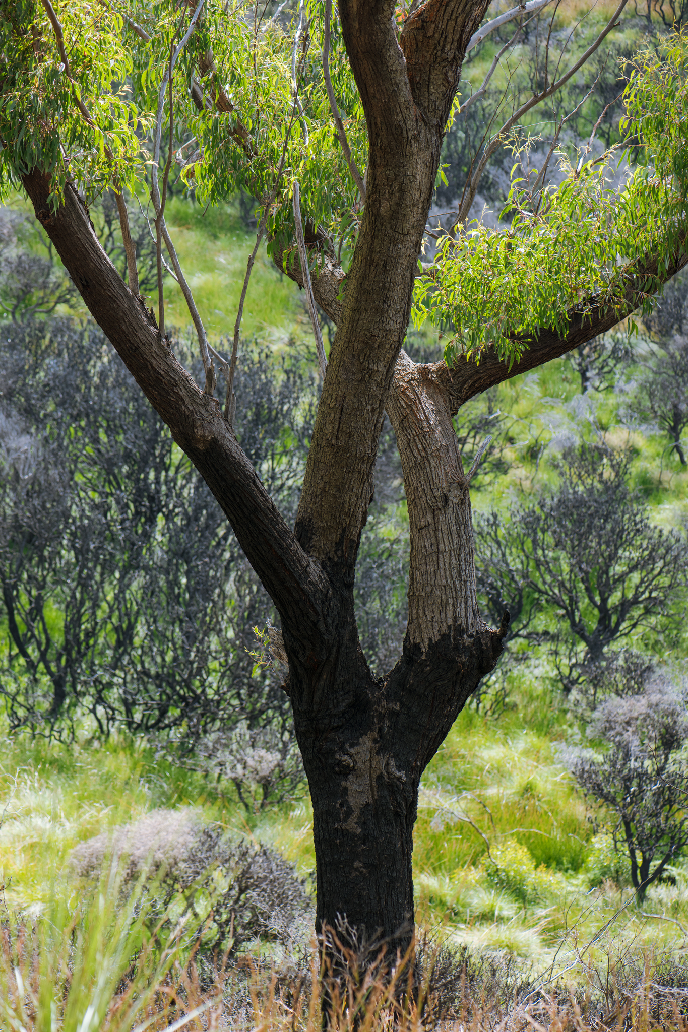
Beautiful angophora trees

The uphill climb begins
Ruined Castle views

Angophora forest
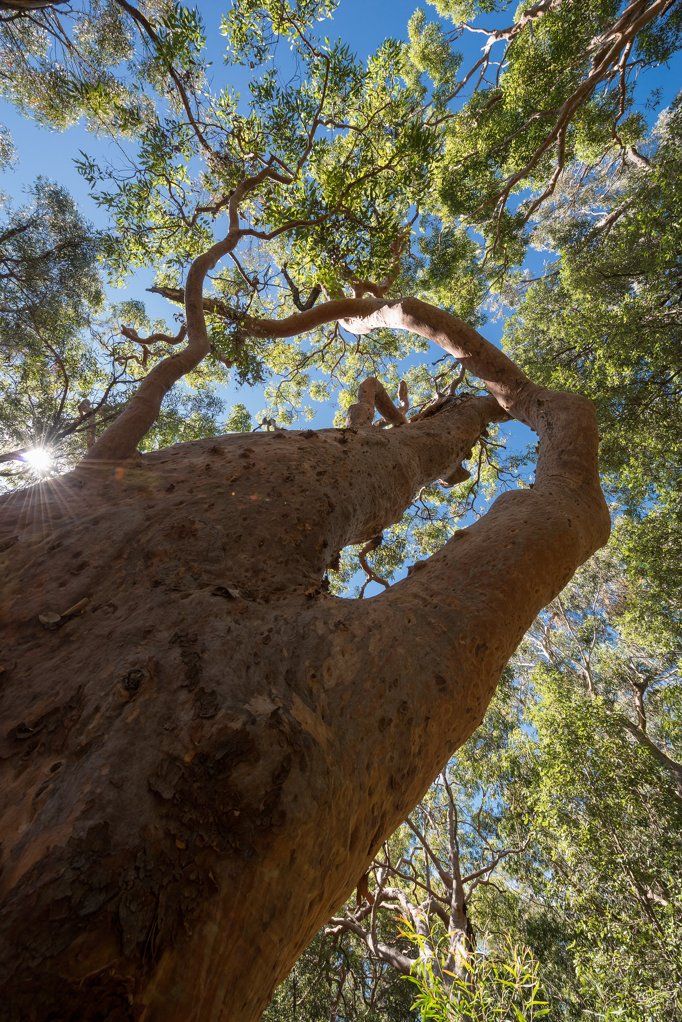
Sunlight over Angophora tree

Angophora canopy

The path gets steeper

First steep scramble

Looking to Kings Tablelands
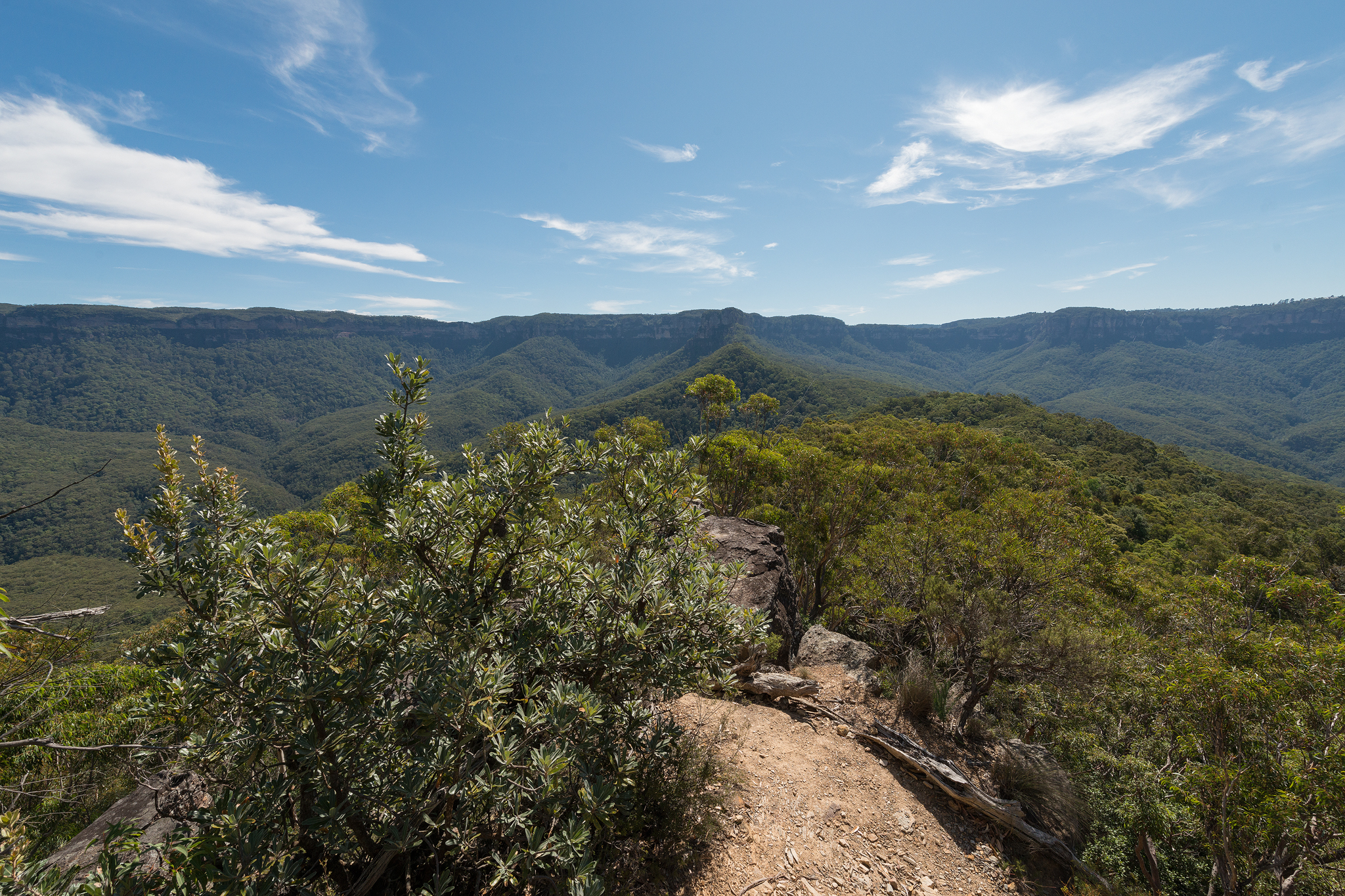
Katoomba cliffline views
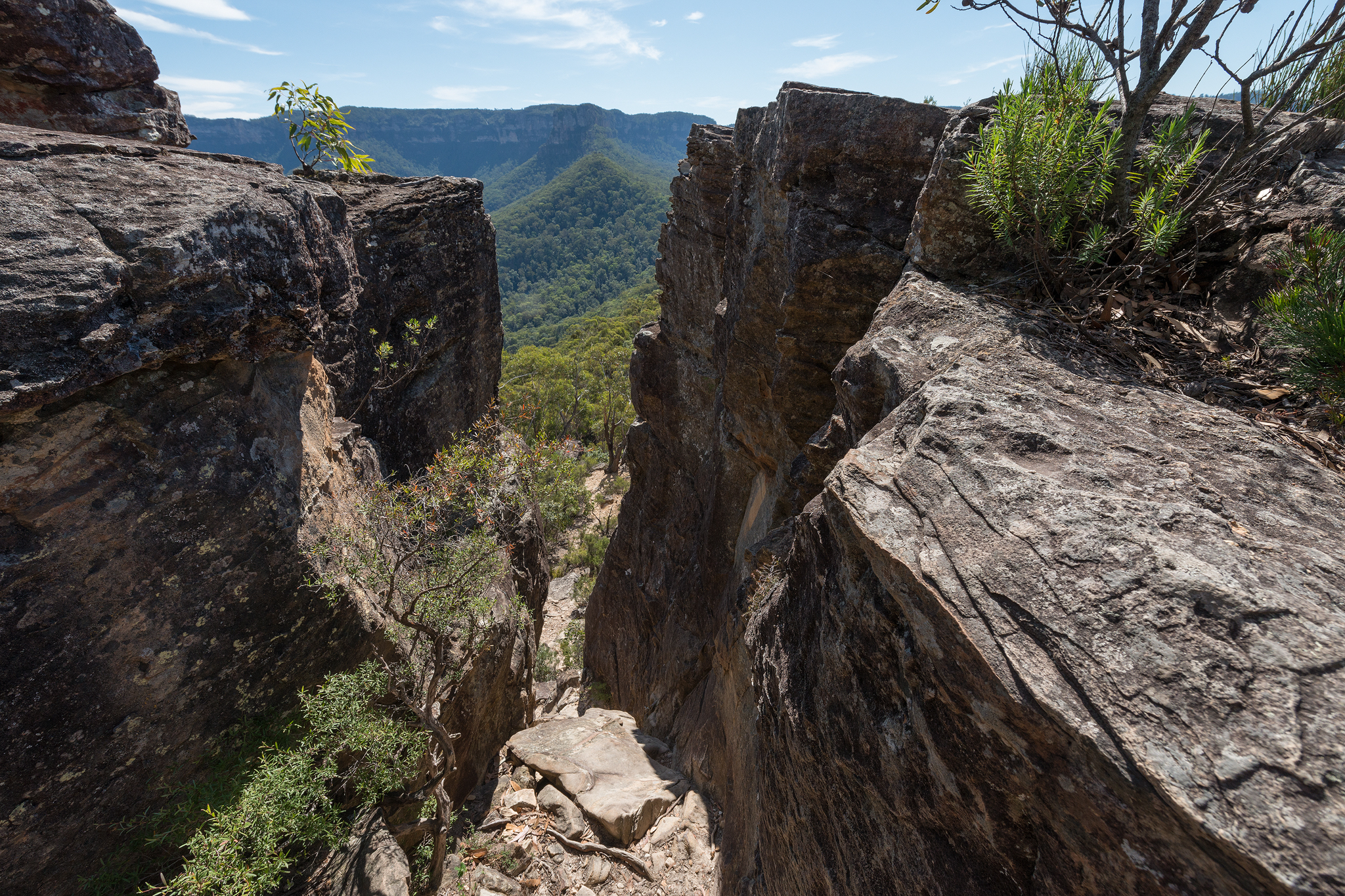
The chimney climb

The second knoll climb looms above

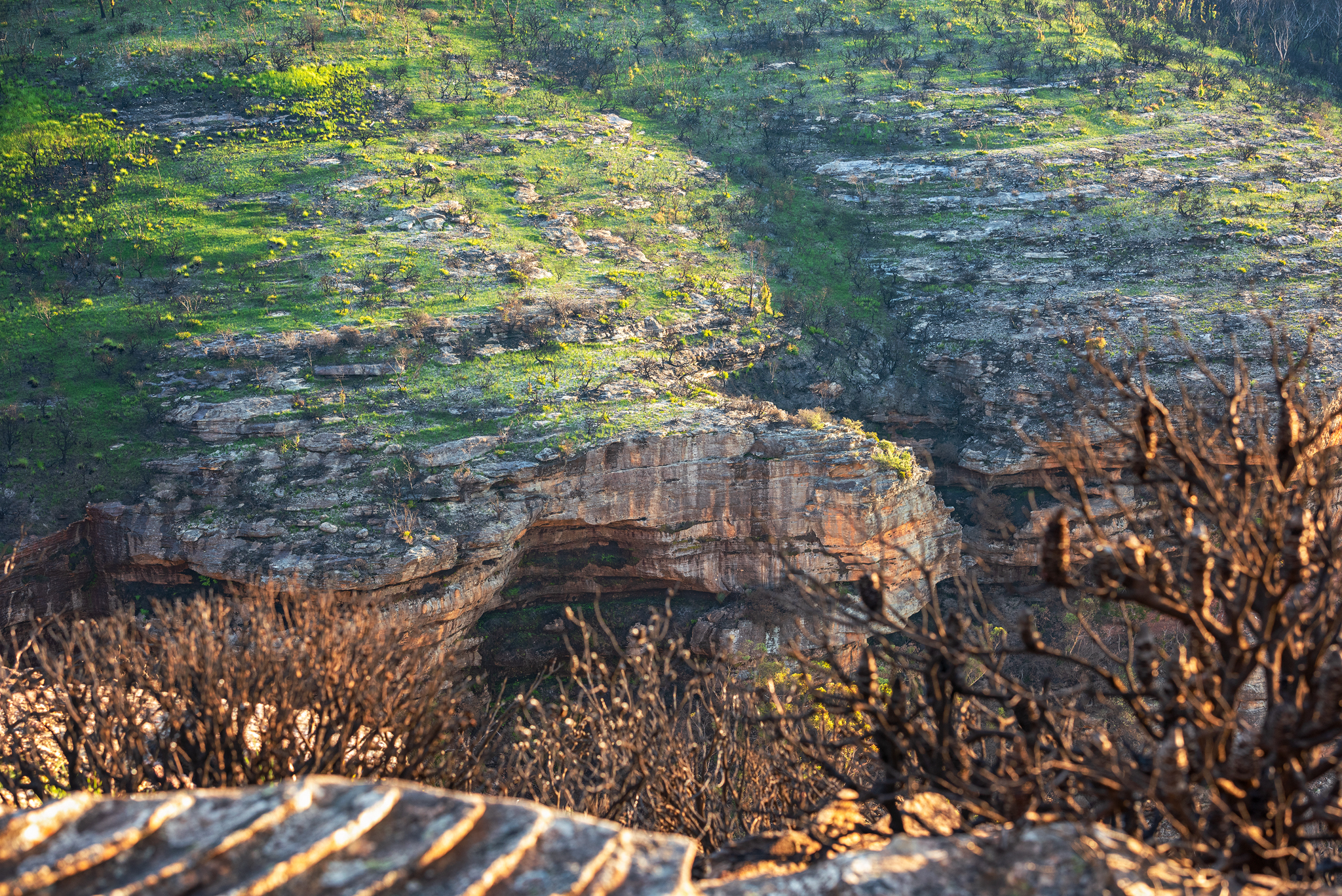
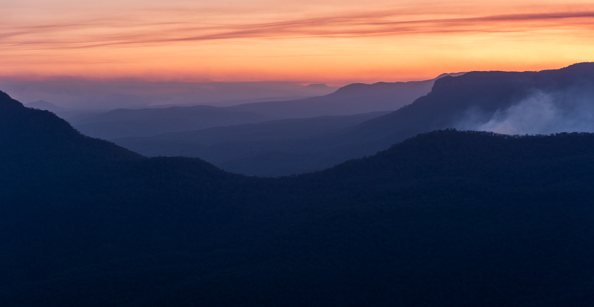
Looking back across the jamison valley to Katoomba

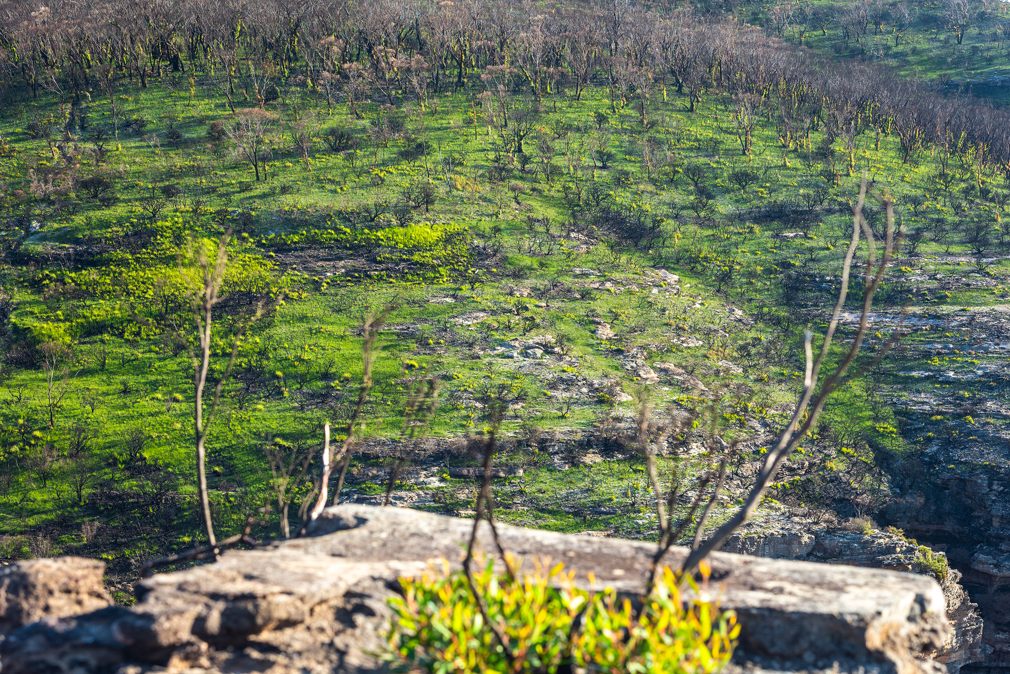
Looking back panoramic views

Narrowneck plateau views

Summit views…still a way to go

Finding a shady spot on the climb

Summit glory

Chinaman’s gap- Mount Solitary
Chinaman’s gap eucalyptus trees
Chinaman’s Cave- Mount Solitary

Chinaman’s gap in the mist

Morning light
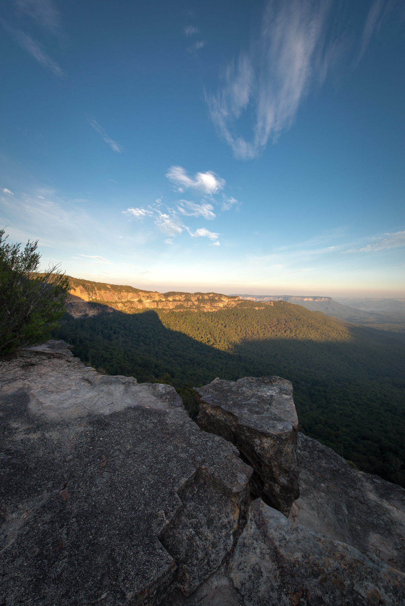
Melville’s lookout- Mount Solitary

Zooming in on Lake Burragorang

View over Lake Burragorang
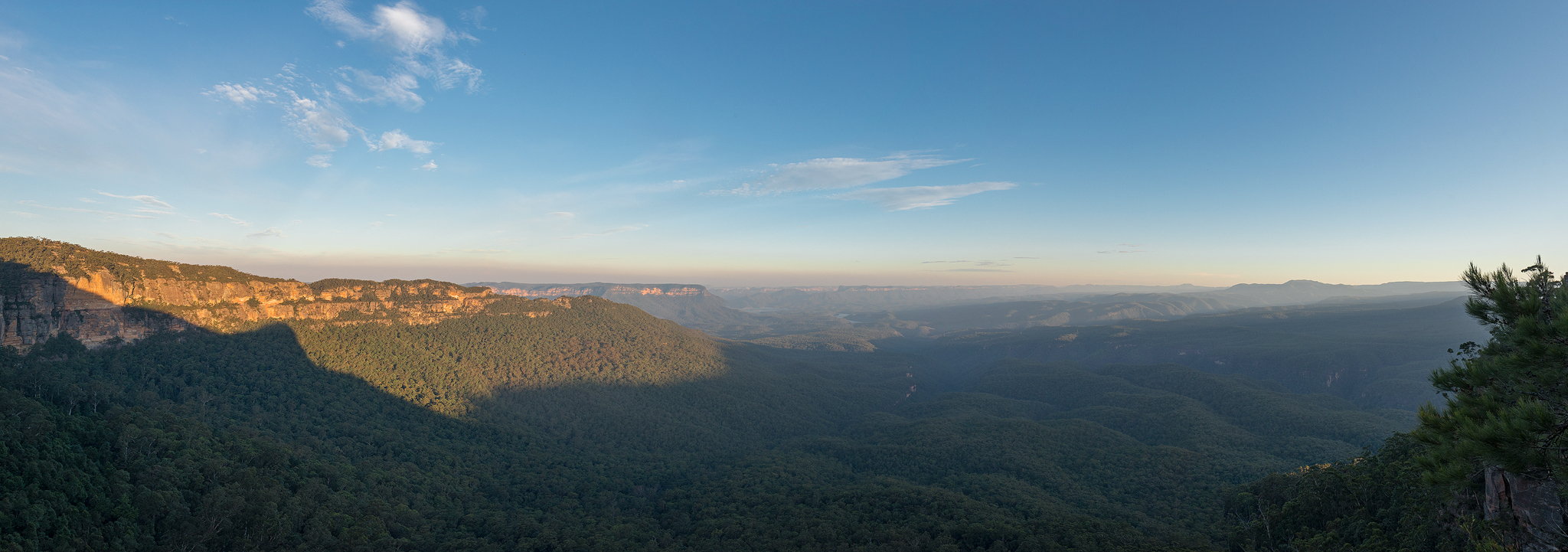
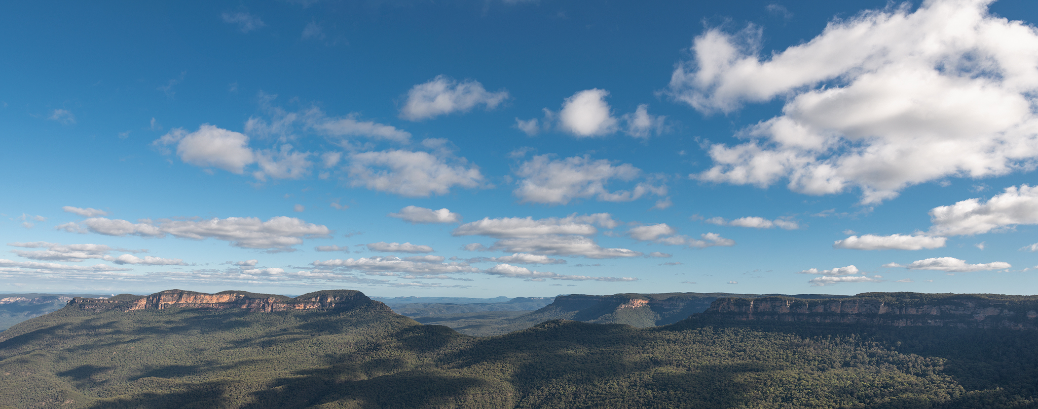
Panoramic view from Melville’s lookout
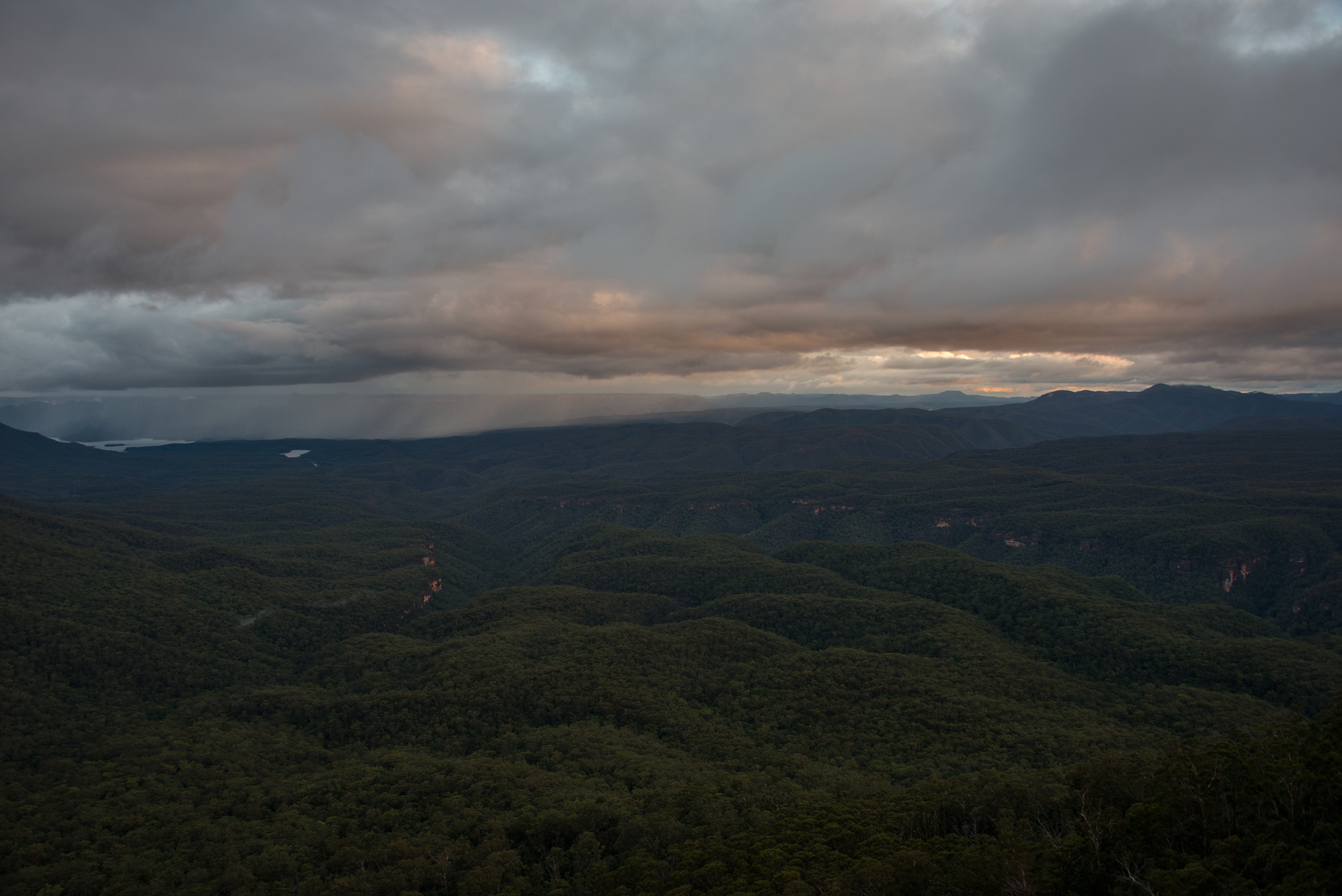
Rain over Lake Burragorang
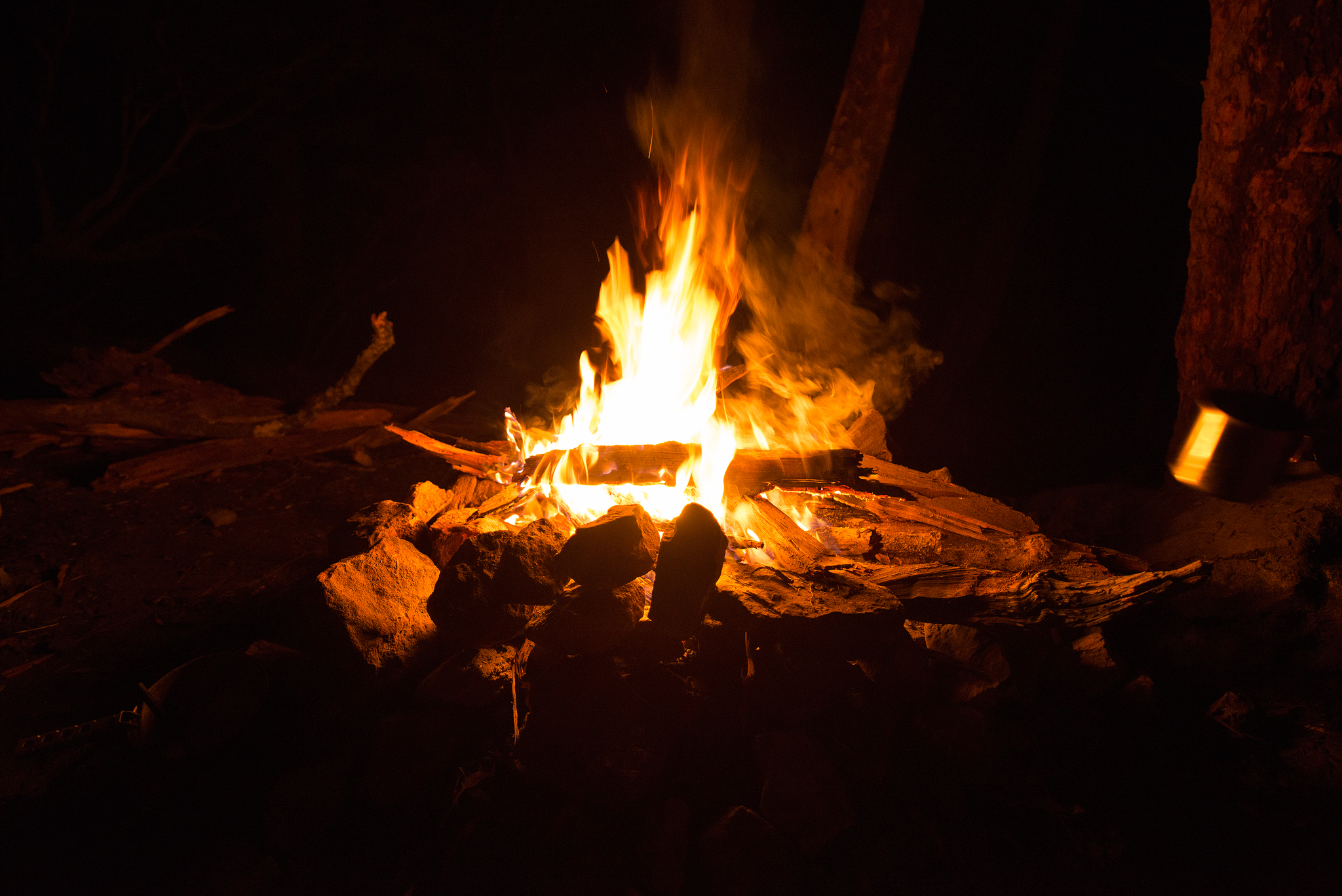
Tales around the campfire…
Katoomba panoramic view- Mount Solitary on the left. The hike starts from right, underneath narrowneck plateau, and continues left past and below ruined castle and finally up the steep visible ridgeline onto Mount Solitary.
Thanks for looking, cheers Ben
Website
Note: The hike to Mount Solitary is not suitable for inexperienced hikers and campers. The long steep ridge path through sections of sandstone boulders can prove exhaustive and dangerous for those whose fitness is not at a suitable level.
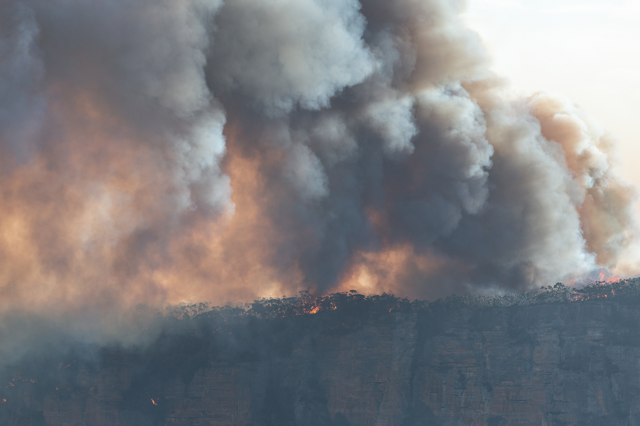
Note: The author takes no responsibility for any incorrect information in this blog post. All person/s who are undertaking a walk/hike or camping trip to Mount Solitary should research/contact NPWS and other local government agencies and/or official sites prior to leaving to ensure their own safety. Please stay safe and monitor bushfire warnings when hiking and camping and be sure to take out your rubbish with you so other can enjoy these areas too.
-33.785930
150.330502